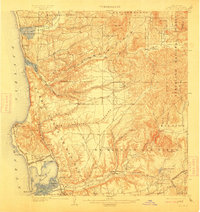
1903 Map of La Jolla
USGS Topo · Published 1913About this map
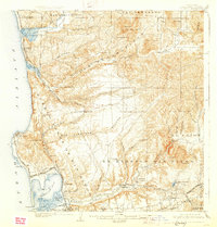
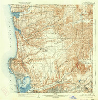
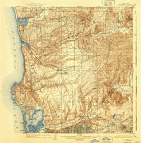
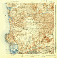
Ex Mission San Diego stands as a central landmark in this coastal landscape, situated within the broad San Diego Mission Valley. The map reveals an era when much of the region remained open Pueblo Lands of San Diego, with small, emerging settlements like Pacific Beach and Morena clustered near the shoreline. Coastal travel was defined by the Southern California R. R. Surf Line, which threaded through Soledad Valley and passed the settlement of Delmar. Inland, the terrain rises toward the Cleveland National Forest, where steep canyons like Los Penasquitos Canyon and Carroll Canyon cut through the hills. The hydrology of the era is preserved in the expansive False Bay and the meandering San Diego River, long before the intensive development of the mid-twentieth century transformed these tidal flats and valley floors.
Find a feature on this map
67 named features on this map. Tap any name to fly to it.
Don’t see what you’re looking for? This feature index may not catch every label — zoom into the map to look around manually.
Map Details
Editions of this 1903 La Jolla Map
9 editions found
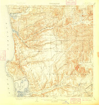
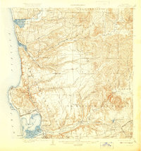
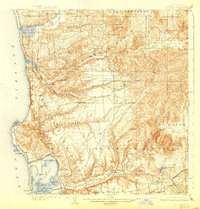
Other maps of this area

1893 · El Cajon
USGS Topo · 1:62,500

1893 · Oceanside
USGS Topo · 1:62,500

1893 · Escondido
USGS Topo · 1:62,500

1898 · Oceanside
USGS Topo · 1:62,500

1901 · Elcajon
USGS Topo · 1:62,500

1901 · Escondido
USGS Topo · 1:62,500

1901 · Oceanside
USGS Topo · 1:62,500

1901 · San Luis Rey
USGS Topo · 1:125,000

1903 · Cuyamaca
USGS Topo · 1:125,000

1903 · La Jolla
USGS Topo · 1:62,500