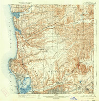
1903 Map of La Jolla
USGS Topo · Published 1934About this map
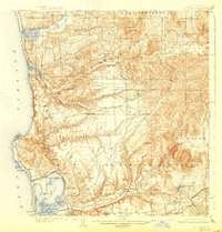
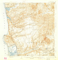
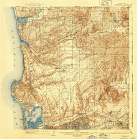
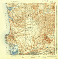
Camp Kearney sits at the center of this coastal landscape, which captures a pivotal transition between the early 1900s survey and a 1930 update. The coastal strip shows the early development of La Jolla and Pacific Beach, while the interior remains defined by extensive canyon systems like Los Penasquitos Canyon and Rose Canyon. The Southern California RR (Surf Line) traces the shoreline, providing a vital link for early settlements such as Delmar and Sorrento.
Find a feature on this map
61 named features on this map. Tap any name to fly to it.
Don’t see what you’re looking for? This feature index may not catch every label — zoom into the map to look around manually.
Map Details
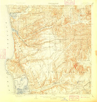
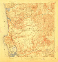
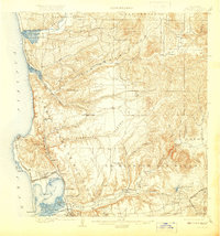
Editions of this 1903 La Jolla Map
9 editions found
Other maps of this area

1893 · El Cajon
USGS Topo · 1:62,500

1893 · Oceanside
USGS Topo · 1:62,500

1893 · Escondido
USGS Topo · 1:62,500

1898 · Oceanside
USGS Topo · 1:62,500

1901 · Elcajon
USGS Topo · 1:62,500

1901 · Escondido
USGS Topo · 1:62,500

1901 · Oceanside
USGS Topo · 1:62,500

1901 · San Luis Rey
USGS Topo · 1:125,000

1903 · Cuyamaca
USGS Topo · 1:125,000

1903 · La Jolla
USGS Topo · 1:62,500