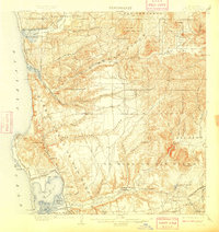
1903 Map of La Jolla
USGS Topo · Published 1909About this map
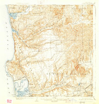
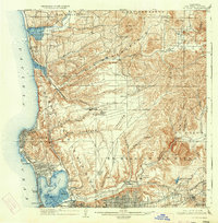
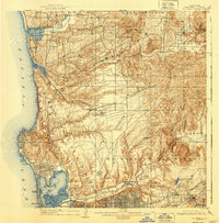
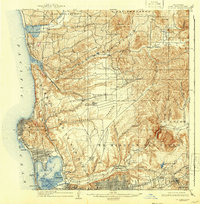
The coastal canyons and burgeoning coastal developments of southern California are documented in this survey conducted by J.E. Rockhold and A.P. Davis. The landscape is defined by the Pueblo of San Diego and the vast Ex Mission San Diego tract, where the Mission Valley meets the sea. Early transit corridors are dominated by the Southern California R R (Surf Line) which hugs the coast through Delmar and Sorrento, while the San Diego Cuyamaca and Eastern R R serves the inland areas near La Mesa.
Find a feature on this map
63 named features on this map. Tap any name to fly to it.
Don’t see what you’re looking for? This feature index may not catch every label — zoom into the map to look around manually.
Map Details
Editions of this 1903 La Jolla Map
9 editions found
Other maps of this area

1893 · El Cajon
USGS Topo · 1:62,500

1893 · Oceanside
USGS Topo · 1:62,500

1893 · Escondido
USGS Topo · 1:62,500

1898 · Oceanside
USGS Topo · 1:62,500

1901 · Elcajon
USGS Topo · 1:62,500

1901 · Escondido
USGS Topo · 1:62,500

1901 · Oceanside
USGS Topo · 1:62,500

1901 · San Luis Rey
USGS Topo · 1:125,000

1903 · Cuyamaca
USGS Topo · 1:125,000

1903 · La Jolla
USGS Topo · 1:62,500