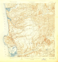
1903 Map of La Jolla
USGS Topo · Published 1920About this map
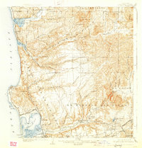
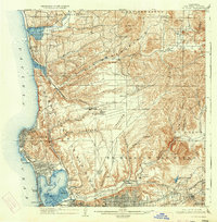
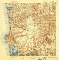
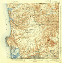
Coastal mesas and deeply incised canyons define the topography of San Diego just after the turn of the century. The Southern California Surf Line traces the shoreline from Del Mar through Soledad Valley, serving as the primary link between these growing seaside communities and the heart of North San Diego. Inland, the landscape transitions from the developed grids of Pacific Beach and Morena to the agricultural reaches of the San Diego Valley, where the Ex Mission San Diego stands near Grantville.
Find a feature on this map
75 named features on this map. Tap any name to fly to it.
Don’t see what you’re looking for? This feature index may not catch every label — zoom into the map to look around manually.
Map Details
Editions of this 1903 La Jolla Map
9 editions found
Other maps of this area

1893 · El Cajon
USGS Topo · 1:62,500

1893 · Oceanside
USGS Topo · 1:62,500

1893 · Escondido
USGS Topo · 1:62,500

1898 · Oceanside
USGS Topo · 1:62,500

1901 · Elcajon
USGS Topo · 1:62,500

1901 · Escondido
USGS Topo · 1:62,500

1901 · Oceanside
USGS Topo · 1:62,500

1901 · San Luis Rey
USGS Topo · 1:125,000

1903 · Cuyamaca
USGS Topo · 1:125,000

1903 · La Jolla
USGS Topo · 1:62,500