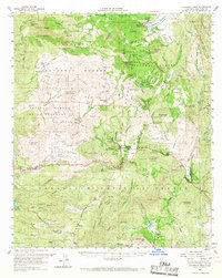
1960 Map of Cuyamaca Peak
USGS Topo · Published 1967About this map
Cuyamaca Peak and the high ridges of the Cleveland National Forest dominate this 1960s landscape, where mountain cattle ranching and early recreation intersect. The northern portion is anchored by Cuyamaca Reservoir and the Stonewall Mine, while the southern half shows the development of mountain communities along the highway corridor. Small settlements and specialized camps, such as Descanso, Pine Valley, and the Viejas Honor Camp, are interspersed between the rugged watersheds of the San Diego River and the Sweetwater River. The map meticulously documents the boundaries of the Capitan Grande Indian Reservation and Viejas Indian Reservation, alongside various family-named holdings like Burney Ranch and Lyster Ranch. This survey captures the region as it transitioned from a remote mining and ranching district into a hub for state park recreation and rural residential pockets.
Find a feature on this map
121 named features on this map. Tap any name to fly to it.
Don’t see what you’re looking for? This feature index may not catch every label — zoom into the map to look around manually.
Map Details
Editions of this 1960 Cuyamaca Peak Map
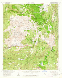
2 editions found
Other maps of this area

1893 · El Cajon
USGS Topo · 1:62,500

1901 · Elcajon
USGS Topo · 1:62,500

1903 · Cuyamaca
USGS Topo · 1:125,000

1903 · Elcajon
USGS Topo · 1:62,500

1903 · Ramona
USGS Topo · 1:125,000

1904 · Southern California Sheet No. 2
USGS Topo · 1:250,000

1931 · Vallecito
USGS Topo · 1:125,000

1931 · Carrizo
USGS Topo · 1:125,000

1939 · El Cajon
USGS Topo · 1:62,500

1939 · Campo
USGS Topo · 1:62,500