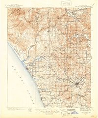
1901 Map of San Luis Rey
USGS Topo · Published 1946About this map
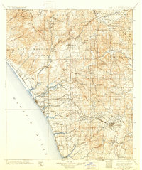
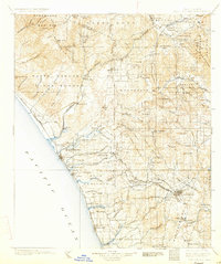
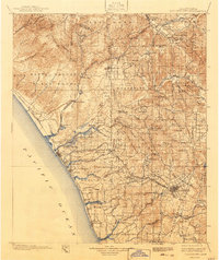
Escondido and the coastal settlements of Northern San Diego County appear here during the final decade of the 19th century, captured by surveyors L.C. Fletcher, J.B. Lippincott, and T.G. Gerdine. The landscape is defined by the Southern California Railway (Surf Line) tracing the Pacific coast through Oceanside, South Oceanside, and Carlsbad toward Encinitas. Inland, the map documents the transition from ranching and early citrus cultivation to established townships.
Find a feature on this map
97 named features on this map. Tap any name to fly to it.
Don’t see what you’re looking for? This feature index may not catch every label — zoom into the map to look around manually.
Map Details
Editions of this 1901 San Luis Rey Map
8 editions found

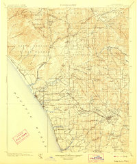
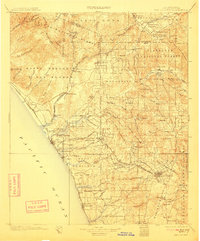
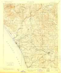
Other maps of this area

1893 · El Cajon
USGS Topo · 1:62,500

1893 · Oceanside
USGS Topo · 1:62,500

1893 · Escondido
USGS Topo · 1:62,500

1898 · Oceanside
USGS Topo · 1:62,500

1901 · Southern California Sheet No. 1
USGS Topo · 1:250,000

1901 · Elcajon
USGS Topo · 1:62,500

1901 · San Jacinto
USGS Topo · 1:125,000

1901 · Elsinore
USGS Topo · 1:125,000

1901 · Escondido
USGS Topo · 1:62,500

1901 · Oceanside
USGS Topo · 1:62,500