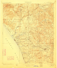
1901 Map of San Luis Rey
USGS Topo · Published 1911About this map
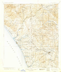
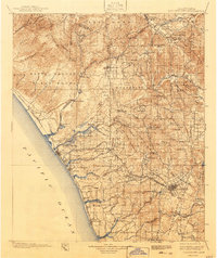
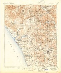
Oceanside and its neighboring coastal settlements of South Oceanside and Carlsbad anchor this coastal landscape at the turn of the century, where the Southern California Railway (Surf Line) traces the shoreline. Inland, the topography is defined by massive land grants and reservations, including the Temecula Indian Res and Pala Indian Res. The Santa Margarita River and San Luis Rey River carve through the Santa Margarita Mountains, providing the corridors for early development and ranching at sites like Home Ranch.
Find a feature on this map
101 named features on this map. Tap any name to fly to it.
Don’t see what you’re looking for? This feature index may not catch every label — zoom into the map to look around manually.
Map Details
Editions of this 1901 San Luis Rey Map
8 editions found

Other maps of this area

1893 · El Cajon
USGS Topo · 1:62,500

1893 · Oceanside
USGS Topo · 1:62,500

1893 · Escondido
USGS Topo · 1:62,500

1898 · Oceanside
USGS Topo · 1:62,500

1901 · Southern California Sheet No. 1
USGS Topo · 1:250,000

1901 · Elcajon
USGS Topo · 1:62,500

1901 · San Jacinto
USGS Topo · 1:125,000

1901 · Elsinore
USGS Topo · 1:125,000

1901 · Escondido
USGS Topo · 1:62,500

1901 · Oceanside
USGS Topo · 1:62,500