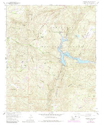
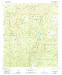
1960 Map of Barrett Lake
USGS Topo · Published 1988About this map
Barrett Lake serves as the central focal point of this San Diego County landscape, formed by the Barrett Dam at the confluence of Pine Valley Creek and Cottonwood Creek. The 1960s terrain, updated with mid-1980s revisions, illustrates a remote transition between the Cleveland National Forest and private ranch lands. Family names are etched into the geography through landmarks such as Eichenlaub Ranch, Walker Ranch, and Bratton Ranch, providing a record of early settlement and land use in the valleys surrounding Lyons Valley.
Find a feature on this map
47 named features on this map. Tap any name to fly to it.
Don’t see what you’re looking for? This feature index may not catch every label — zoom into the map to look around manually.
Map Details
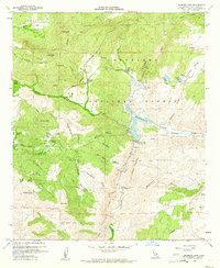
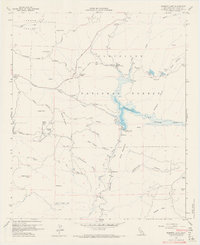
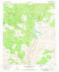
Editions of this 1960 Barrett Lake Map
5 editions found
Other maps of this area

1893 · El Cajon
USGS Topo · 1:62,500

1901 · Elcajon
USGS Topo · 1:62,500

1903 · Cuyamaca
USGS Topo · 1:125,000

1903 · Elcajon
USGS Topo · 1:62,500

1904 · Southern California Sheet No. 2
USGS Topo · 1:250,000

1939 · El Cajon
USGS Topo · 1:62,500

1942 · Potrero
USGS Topo · 1:48,000

1942 · El Cajon
USGS Topo · 1:62,500

1942 · Cuyamaca Peak
USGS Topo · 1:62,500

1943 · Jamul
USGS Topo · 1:62,500