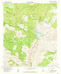
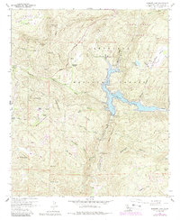
1960 Map of Barrett Lake
USGS Topo · Published 1961About this map
Barrett Lake and the structural infrastructure of the Barrett Dam anchor this mid-century survey of the San Diego backcountry. The landscape is defined by the managed water resources of the Cleveland National Forest, featuring smaller reservoirs like Henry Jr Dam and Mary Jo Dam in Skye Valley. Human activity is marked by established holdings such as Eichenlaub Ranch, Walker Ranch, and Bratton Ranch, alongside the Barrett Honor Camp. A network of utility and transport links, including a conduit, tunnel, and the Japatul Road, reveal how this mountainous terrain was integrated into the regional water and fire-management systems. Peaks like Lawson Peak, Mother Grundy Peak, and Gaskill Peak provide significant elevation markers among the deep drainages of Cottonwood Creek and Wilson Creek.
Find a feature on this map
49 named features on this map. Tap any name to fly to it.
Don’t see what you’re looking for? This feature index may not catch every label — zoom into the map to look around manually.
Map Details
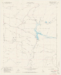
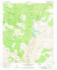
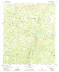
Editions of this 1960 Barrett Lake Map
5 editions found
Other maps of this area

1893 · El Cajon
USGS Topo · 1:62,500

1901 · Elcajon
USGS Topo · 1:62,500

1903 · Cuyamaca
USGS Topo · 1:125,000

1903 · Elcajon
USGS Topo · 1:62,500

1904 · Southern California Sheet No. 2
USGS Topo · 1:250,000

1939 · El Cajon
USGS Topo · 1:62,500

1942 · Potrero
USGS Topo · 1:48,000

1942 · El Cajon
USGS Topo · 1:62,500

1942 · Cuyamaca Peak
USGS Topo · 1:62,500

1943 · Jamul
USGS Topo · 1:62,500