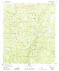
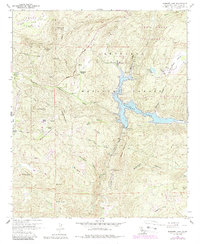
1960 Map of Barrett Lake
USGS Topo · Published 1984About this map
Barrett Lake and its primary engineering works dominate this mid-century survey of the San Diego backcountry. The landscape is defined by the Barrett Dam, which impounds the waters of Cottonwood Creek and Boneyard Canyon. Downstream water management is evidenced by the Cottonwood Conduit and Cottonwood Tunnel, infrastructure critical for regional water transport.
Find a feature on this map
55 named features on this map. Tap any name to fly to it.
Don’t see what you’re looking for? This feature index may not catch every label — zoom into the map to look around manually.
Map Details
Editions of this 1960 Barrett Lake Map
5 editions found
Other maps of this area

1893 · El Cajon
USGS Topo · 1:62,500

1901 · Elcajon
USGS Topo · 1:62,500

1903 · Cuyamaca
USGS Topo · 1:125,000

1903 · Elcajon
USGS Topo · 1:62,500

1904 · Southern California Sheet No. 2
USGS Topo · 1:250,000

1939 · El Cajon
USGS Topo · 1:62,500

1942 · Potrero
USGS Topo · 1:48,000

1942 · El Cajon
USGS Topo · 1:62,500

1942 · Cuyamaca Peak
USGS Topo · 1:62,500

1943 · Jamul
USGS Topo · 1:62,500