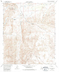
1959 Map of Sweeney Pass
USGS Topo · Published 1985About this map
The Mountain Palm Springs Area and its clustered desert oases define this late-1950s survey of the Colorado Desert. The landscape is marked by a series of distinct groves including Marys Grove, North Grove, and Palm Bowl Grove, which follow the drainage patterns of Indian Canyon. The historic Old Overland Stage Route crosses the northeast corner, illustrating the path of early transportation through the Carrizo Badlands. Farther south, the transition between the Jacumba Mountains and the Volcanic Hills highlights a complex geological environment where industrial activity is noted at the Mortero Mine and a nearby Quarry. Local park management is established at the Bow Willow Ranger Sta, overseeing a terrain that includes the Smoke Tree Forest and the steep passage at Sweeney Pass.
Find a feature on this map
40 named features on this map. Tap any name to fly to it.
Don’t see what you’re looking for? This feature index may not catch every label — zoom into the map to look around manually.
Map Details
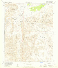
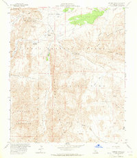
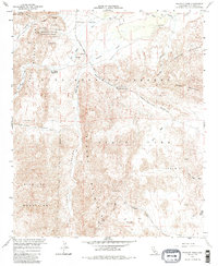
Editions of this 1959 Sweeney Pass Map
4 editions found
Other maps of this area

1931 · Carrizo
USGS Topo · 1:125,000

1939 · Campo
USGS Topo · 1:62,500

1939 · Jacumba
USGS Topo · 1:62,500

1942 · Campo
USGS Topo · 1:62,500

1942 · Carrizo Mtn
USGS Topo · 1:62,500

1942 · Jacumba
USGS Topo · 1:62,500

1942 · Cuyapaipe
USGS Topo · 1:62,500

1950 · San Diego
USGS Topo · 1:250,000

1954 · San Diego
USGS Topo · 1:250,000

1955 · San Diego
USGS Topo · 1:250,000