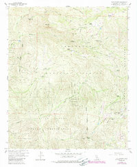
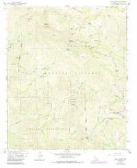
1960 Map of Tule Springs
USGS Topo · Published 1989About this map
The Capitan Grande Indian Reservation and Cleveland National Forest dominate this San Diego County landscape, where deep canyons and high peaks like Sill Hill define the terrain. The map captures a network of rural homesteads and outposts, including Rancho Alegria, Burney Ranch, and Echo Dell Ranch. These cattle ranches and private holdings are tucked between the Cuyamaca Mountains and the valley floors of Conejos Creek and Boulder Creek. A notable site for local recreation and hydrology is Cedar Creek Falls, situated near the confluence of several seasonal drainages. Geologic and recreational interests are further highlighted by features such as the Devils Punch Bowl, the Prospect at Mineral Hill, and a Boy Scout Camp located near Poverty Gulch. The 1980s revisions, shown in purple, reflect subtle updates to the road network, including the Tule Springs Road, while maintaining the mid-century character of this backcountry area.
Find a feature on this map
40 named features on this map. Tap any name to fly to it.
Don’t see what you’re looking for? This feature index may not catch every label — zoom into the map to look around manually.
Map Details
Editions of this 1960 Tule Springs Map
5 editions found
Other maps of this area

1893 · El Cajon
USGS Topo · 1:62,500

1901 · Elcajon
USGS Topo · 1:62,500

1903 · Cuyamaca
USGS Topo · 1:125,000

1903 · Elcajon
USGS Topo · 1:62,500

1903 · Ramona
USGS Topo · 1:125,000

1904 · Southern California Sheet No. 2
USGS Topo · 1:250,000

1939 · El Cajon
USGS Topo · 1:62,500

1939 · Santa Ysabel
USGS Topo · 1:62,500

1942 · El Cajon
USGS Topo · 1:62,500

1942 · Ramona
USGS Topo · 1:62,500