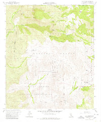
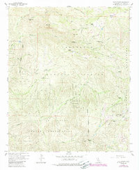
1960 Map of Tule Springs
USGS Topo · Published 1980About this map
The Capitan Grande Indian Reservation and Cleveland National Forest dominate this rugged section of the Cuyamaca Mountains, where high-elevation peaks and deep canyons define the landscape. Based on fieldwork completed in 1960, the map illustrates a network of isolated homesteads and recreation sites including Rancho Alegria, Sherilton Valley Ranch, and the Water Boy Scout Camp. The area’s hydrological character is remarkably detailed, featuring the Cedar Creek Falls along Cedar Creek, and numerous high-country water sources such as Tule Springs, Wildcat Spring, and Anahuate Spring. The presence of the Devils Punch Bowl and a lonely Landing Strip suggests the remote nature of this backcountry during the mid-twentieth century, before more intensive development reached these San Diego County highlands.
Find a feature on this map
36 named features on this map. Tap any name to fly to it.
Don’t see what you’re looking for? This feature index may not catch every label — zoom into the map to look around manually.
Map Details
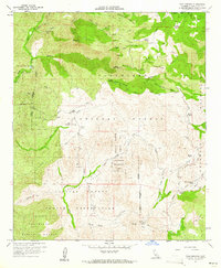
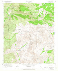
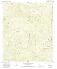
Editions of this 1960 Tule Springs Map
5 editions found
Other maps of this area

1893 · El Cajon
USGS Topo · 1:62,500

1901 · Elcajon
USGS Topo · 1:62,500

1903 · Cuyamaca
USGS Topo · 1:125,000

1903 · Elcajon
USGS Topo · 1:62,500

1903 · Ramona
USGS Topo · 1:125,000

1904 · Southern California Sheet No. 2
USGS Topo · 1:250,000

1939 · El Cajon
USGS Topo · 1:62,500

1939 · Santa Ysabel
USGS Topo · 1:62,500

1942 · El Cajon
USGS Topo · 1:62,500

1942 · Ramona
USGS Topo · 1:62,500