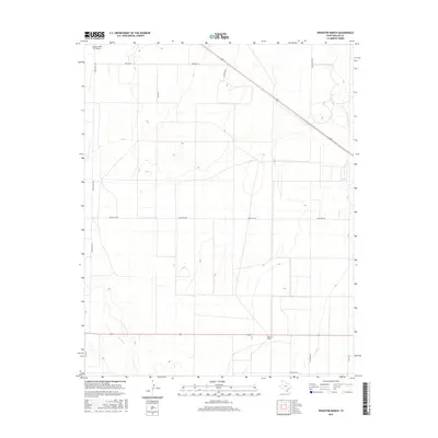
2016 Map of Wharton Ranch
USGS Topo · Published 2016About this map
Wharton Ranch defines the isolated character of this high plains landscape in Dallam County. Situated in a region dominated by wide-open ranch land and straight-line roads, the area is bisected by the ephemeral drainage of Carrizo Cr. The map reveals the logistical infrastructure necessary for large-scale agricultural operations, including the Nebtex Land Co. Airport at the northern edge. A grid of rural thoroughfares such as Barth Rd, Walters Rd, and Ranch Rd 102 connects scattered homesteads and pastures. This 2016 survey illustrates the persistent ranching economy of the Texas Panhandle, where named lanes like Bezner Ln and Wharton Ln reflect long-standing local land ownership and the specialized needs of modern cattle and land management companies in a sparsely populated territory.
Find a feature on this map
13 named features on this map. Tap any name to fly to it.
Don’t see what you’re looking for? This feature index may not catch every label — zoom into the map to look around manually.
Map Details
Editions of this 2016 Wharton Ranch Map
This is the sole edition of this map. No revisions or reprints were ever made.
Other maps of this area

1954 · Dalhart
USGS Topo · 1:250,000

1958 · Dalhart
USGS Topo · 1:250,000

1962 · Dalhart
USGS Topo · 1:250,000

1973 · Wharton Ranch
USGS Topo · 1:24,000

1973 · Tovrea Ranch
USGS Topo · 1:24,000

1973 · Corlena
USGS Topo · 1:24,000

1973 · Perico
USGS Topo · 1:24,000

1973 · Canyon School
USGS Topo · 1:24,000
1973 · Windy Hill
USGS Topo · 1:24,000

1973 · Bolin
USGS Topo · 1:24,000