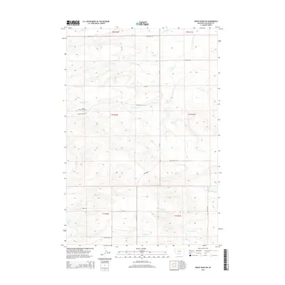
2014 Map of Wheat Basin SW
USGS Topo · Published 2014About this map
Holland Settlement Cem serves as a primary historical anchor in this portion of Stillwater County, situated near the headwaters of Greenwood Cr. The landscape is defined by a series of drainages including Struck Cr, Toll Cr, and the northern reaches of Keyser Cr, which shape the local topography. This region is marked by a deliberate grid of rural corridors such as Flat RD and Lone Tree Rd, reflecting the organized land division of the Big Horn Basin's northern edge. The presence of Cadillac Hill Rd and Mountain View Rd suggests the local importance of specific landforms. In the southern portion of the survey, N Fork Valley Cr and S Fork Valley Cr converge toward the larger valley system, illustrating the transition from upland plateaus to lower creek bottoms.
Find a feature on this map
24 named features on this map. Tap any name to fly to it.
Don’t see what you’re looking for? This feature index may not catch every label — zoom into the map to look around manually.
Map Details
Editions of this 2014 Wheat Basin SW Map
This is the sole edition of this map. No revisions or reprints were ever made.
Other maps of this area

1892 · Stillwater
USGS Topo · 1:125,000

1954 · Billings
USGS Topo · 1:250,000

1956 · Columbus West
USGS Topo · 1:24,000

1956 · Rapelje
USGS Topo · 1:24,000

1956 · Hunter Lake
USGS Topo · 1:24,000

1956 · Battle Butte
USGS Topo · 1:24,000

1956 · Horse Butte
USGS Topo · 1:24,000

1956 · Wheat Basin
USGS Topo · 1:24,000

1956 · Columbus East
USGS Topo · 1:24,000

1956 · Lindemulder Hill
USGS Topo · 1:24,000