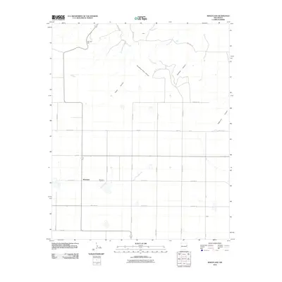
2010 Map of Wheatland
USGS Topo · Published 2010About this map
Wheatland anchors this high plains landscape in eastern New Mexico, where a rigid grid of ranch roads meets the complex drainage systems of the Caprock. The settlement pattern is defined by isolated outposts like Porter in the north and Wave in the southeast, connected by an extensive network of designated routes including Quay Road R and Curry Road 47. This cartography highlights the transition from level agricultural tablelands to the dissected terrain of the escarpment, marked most notably by San Jon Hill.
Find a feature on this map
28 named features on this map. Tap any name to fly to it.
Don’t see what you’re looking for? This feature index may not catch every label — zoom into the map to look around manually.
Map Details
Editions of this 2010 Wheatland Map
This is the sole edition of this map. No revisions or reprints were ever made.
Other maps of this area

1954 · Tucumcari
USGS Topo · 1:250,000

1954 · Clovis
USGS Topo · 1:250,000

1958 · Clovis
USGS Topo · 1:250,000

1958 · Tucumcari
USGS Topo · 1:250,000

1968 · Riley Camp
USGS Topo · 1:24,000

1968 · San Jon
USGS Topo · 1:24,000

1968 · Bedford Hill
USGS Topo · 1:24,000

1971 · Day Canyon
USGS Topo · 1:24,000
1971 · Apache Canyon
USGS Topo · 1:24,000

1971 · Wheatland
USGS Topo · 1:24,000