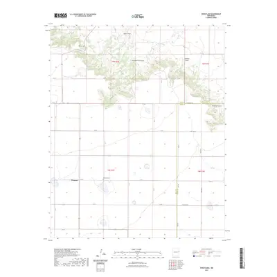
2023 Map of Wheatland
USGS Topo · Published 2023About this map
Wheatland anchors this section of the New Mexico plains, where the open landscape is defined by the sharp transition between agricultural fields and the dissected breaks of the Llano Estacado. The settlement area is marked by the Wheatland Cem, a vital point of reference for local family history and genealogy in this corner of Quay County. To the north, the terrain grows more complex as the land drops into a series of drainage systems, including Arroyo Saladito and several prominent landforms.
Find a feature on this map
27 named features on this map. Tap any name to fly to it.
Don’t see what you’re looking for? This feature index may not catch every label — zoom into the map to look around manually.
Map Details
Editions of this 2023 Wheatland Map
This is the sole edition of this map. No revisions or reprints were ever made.
Other maps of this area

1954 · Tucumcari
USGS Topo · 1:250,000

1954 · Clovis
USGS Topo · 1:250,000

1958 · Clovis
USGS Topo · 1:250,000

1958 · Tucumcari
USGS Topo · 1:250,000

1968 · Riley Camp
USGS Topo · 1:24,000

1968 · San Jon
USGS Topo · 1:24,000

1968 · Bedford Hill
USGS Topo · 1:24,000

1971 · Day Canyon
USGS Topo · 1:24,000
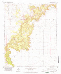
1971 · Apache Canyon
USGS Topo · 1:24,000

1971 · Wheatland
USGS Topo · 1:24,000