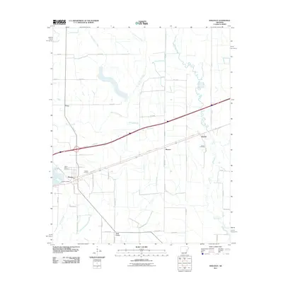
2011 Map of Wheatley
USGS Topo · Published 2011About this map
Wheatley serves as the primary hub of this eastern Arkansas landscape, situated where the interstate corridor intersects with local routes like S Memphis Ave. The area is characterized by a network of drainage systems and agricultural boundaries, with Big Creek meandering through the eastern portion and the West Flat Fork Creek and East Flat Fork Creek defining the western terrain. Small rural clusters and named locations such as Goodwin, Blossom, and Nash Corner appear along the regional thoroughfares, reflecting the dispersed settlement patterns of the Grand Prairie region.
Find a feature on this map
46 named features on this map. Tap any name to fly to it.
Don’t see what you’re looking for? This feature index may not catch every label — zoom into the map to look around manually.
Map Details
Editions of this 2011 Wheatley Map
This is the sole edition of this map. No revisions or reprints were ever made.
Other maps of this area

1939 · Wynne
USGS Topo · 1:62,500

1939 · Hunter
USGS Topo · 1:62,500

1940 · Brinkley
USGS Topo · 1:62,500

1940 · Marianna
USGS Topo · 1:62,500

1948 · Helena
USGS Topo · 1:250,000

1950 · Helena
USGS Topo · 1:250,000

1953 · Memphis
USGS Topo · 1:250,000

1955 · Helena
USGS Topo · 1:250,000

1956 · Memphis
USGS Topo · 1:250,000

1956 · Hunter
USGS Topo · 1:62,500