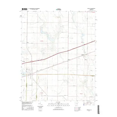
2017 Map of Wheatley
USGS Topo · Published 2017About this map
The town of Wheatley serves as a primary hub in this agricultural landscape where the borders of Monroe, St. Francis, and Lee counties converge. This 2017 survey details a network of rural settlements connected by a grid of county roads and the historic path of Old Hwy 70. To the east, the communities of Blossom and Goodwin follow the transit corridor, while Posey sits to the north among the wetlands and tributaries of the White River basin.
Find a feature on this map
58 named features on this map. Tap any name to fly to it.
Don’t see what you’re looking for? This feature index may not catch every label — zoom into the map to look around manually.
Map Details
Editions of this 2017 Wheatley Map
This is the sole edition of this map. No revisions or reprints were ever made.
Other maps of this area

1939 · Wynne
USGS Topo · 1:62,500

1939 · Hunter
USGS Topo · 1:62,500

1940 · Brinkley
USGS Topo · 1:62,500

1940 · Marianna
USGS Topo · 1:62,500

1948 · Helena
USGS Topo · 1:250,000

1950 · Helena
USGS Topo · 1:250,000

1953 · Memphis
USGS Topo · 1:250,000

1955 · Helena
USGS Topo · 1:250,000

1956 · Memphis
USGS Topo · 1:250,000

1956 · Hunter
USGS Topo · 1:62,500