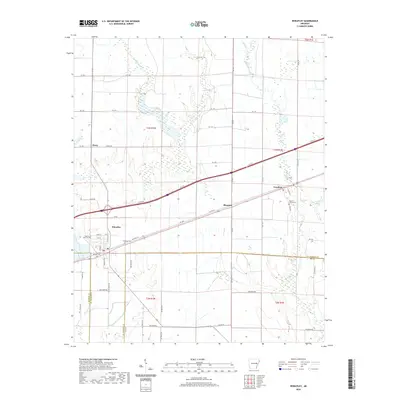
2020 Map of Wheatley
USGS Topo · Published 2020About this map
Wheatley and Goodwin anchor this survey of the Arkansas Delta, where the landscape is defined by the intricate drainage systems of the Flat Fork Cr and Big Creek. The map illustrates a transitional zone where the flat agricultural plains meet the winding waterways of Pony Cr and Child Creek. This region, crossing from St. Francis into Lee County, maintains a traditional rural character marked by scattered small settlements like Blossom and Posey.
Find a feature on this map
66 named features on this map. Tap any name to fly to it.
Don’t see what you’re looking for? This feature index may not catch every label — zoom into the map to look around manually.
Map Details
Editions of this 2020 Wheatley Map
This is the sole edition of this map. No revisions or reprints were ever made.
Other maps of this area

1939 · Wynne
USGS Topo · 1:62,500

1939 · Hunter
USGS Topo · 1:62,500

1940 · Brinkley
USGS Topo · 1:62,500

1940 · Marianna
USGS Topo · 1:62,500

1948 · Helena
USGS Topo · 1:250,000

1950 · Helena
USGS Topo · 1:250,000

1953 · Memphis
USGS Topo · 1:250,000

1955 · Helena
USGS Topo · 1:250,000

1956 · Memphis
USGS Topo · 1:250,000

1956 · Hunter
USGS Topo · 1:62,500