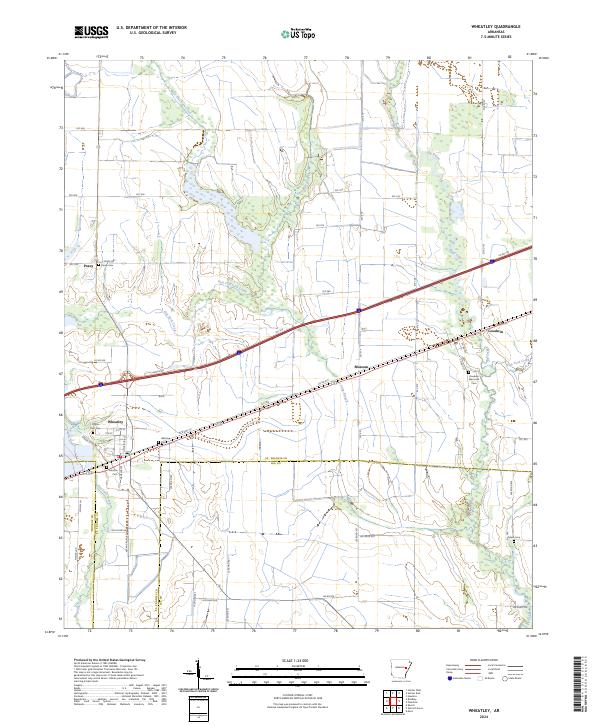
2024 Map of Wheatley
USGS Topo · Published 2024About this map
Wheatley serves as the central hub of this eastern Arkansas landscape, where the grids of St. Francis and Lee counties meet. The settlement pattern is defined by its proximity to the drainage systems of Flat Fork Creek and Big Creek, with smaller communities like Blossom and Goodwin flanking the major transportation corridor that cuts through the center of the sheet. Genealogists will find a high density of rural burial grounds, including the Goodwin Memorial Cem and Pilgrim Rest Cem, which are often the only remaining markers of early family homesteads in the area.
Find a feature on this map
66 named features on this map. Tap any name to fly to it.
Don’t see what you’re looking for? This feature index may not catch every label — zoom into the map to look around manually.
Map Details
Editions of this 2024 Wheatley Map
This is the sole edition of this map. No revisions or reprints were ever made.
Other maps of this area

1939 · Wynne
USGS Topo · 1:62,500

1939 · Hunter
USGS Topo · 1:62,500

1940 · Brinkley
USGS Topo · 1:62,500

1940 · Marianna
USGS Topo · 1:62,500

1948 · Helena
USGS Topo · 1:250,000

1950 · Helena
USGS Topo · 1:250,000

1953 · Memphis
USGS Topo · 1:250,000

1955 · Helena
USGS Topo · 1:250,000

1956 · Memphis
USGS Topo · 1:250,000

1956 · Hunter
USGS Topo · 1:62,500