
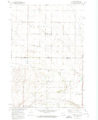
1977 Map of Wheaton West
USGS Topo · Published 1978About this map
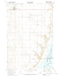
Wheaton serves as the primary population center in this orthophotographic study, which highlights the complex hydraulic landscape along the Minnesota and South Dakota border. The imagery, captured in late April of 1977, reveals the winding course of the Mustinka River as it meanders through vast agricultural tracts toward its confluence. The western edge of the sheet is dominated by the significant waters of Mud Lake and the northern reaches of Lake Traverse, providing a clear view of the shoreline and wetland structures before the full spring foliage. To the north, the Bois De Sioux River defines the state boundary, illustrating the vital role of water management and natural drainage in this prairie region. The stark contrast of the orthophoto format emphasizes the gridded field patterns and the way human settlement in Wheaton is integrated with these regional river systems.
Find a feature on this map
5 named features on this map. Tap any name to fly to it.
Don’t see what you’re looking for? This feature index may not catch every label — zoom into the map to look around manually.
Map Details
Editions of this 1977 Wheaton West Map
2 editions found

Other maps of this area

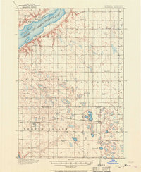
1915 · White Rock
USGS Topo · 1:62,500
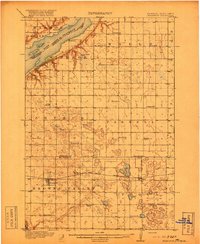
1916 · Beardsley
USGS Topo · 1:62,500

1918 · White Rock
USGS Topo · 1:62,500
1918 · Beardsley
USGS Topo · 1:62,500

1950 · Graceville
USGS Topo · 1:62,500
1951 · Wheaton
USGS Topo · 1:62,500

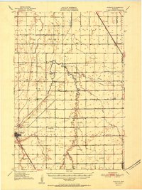
1953 · Milbank
USGS Topo · 1:250,000

1958 · Milbank
USGS Topo · 1:250,000
1972 · La Mars
USGS Topo · 1:24,000
1972 · Rosholt
USGS Topo · 1:24,000