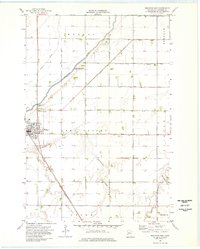
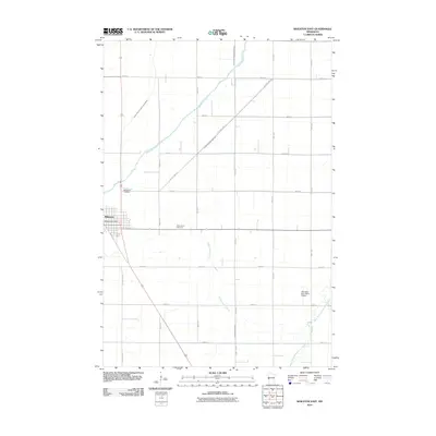
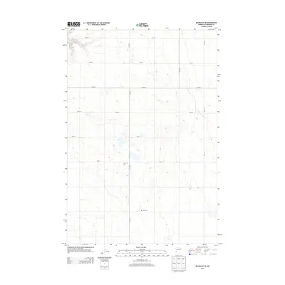
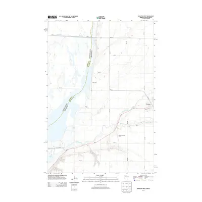
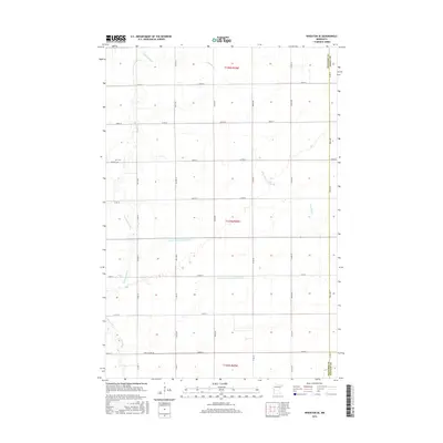
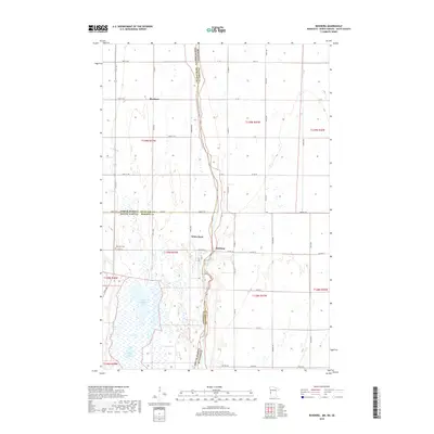
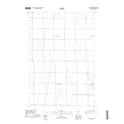
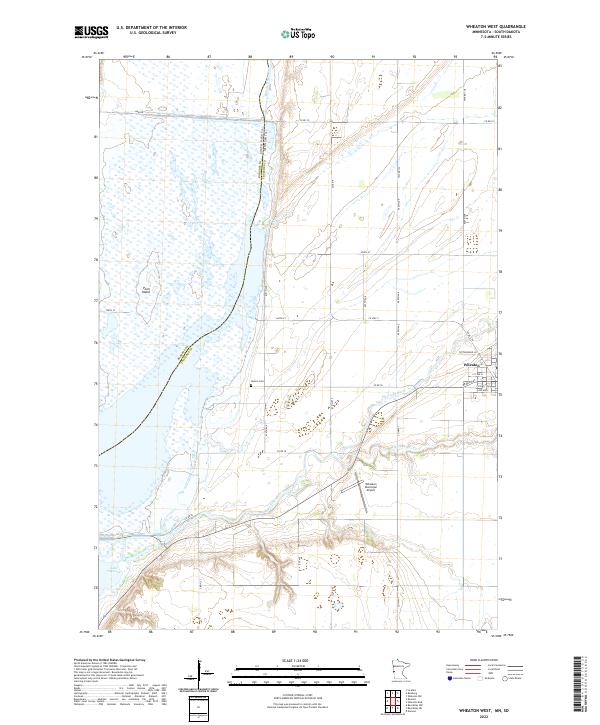
1977 Map of Wheaton West
USGS Topo · Published 1979About this map
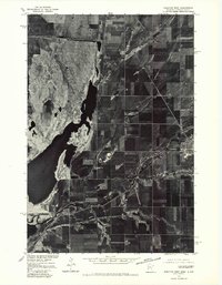
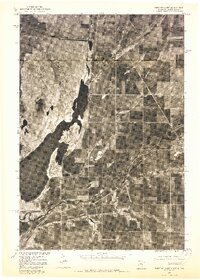
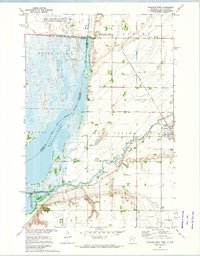
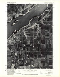
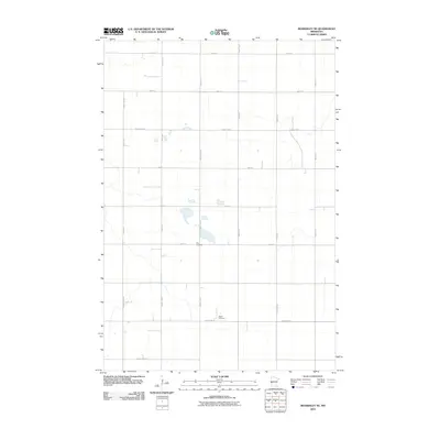
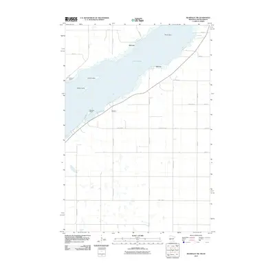
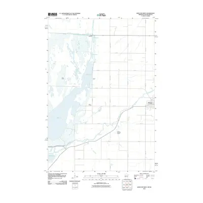
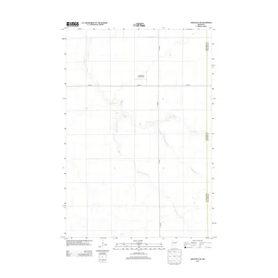
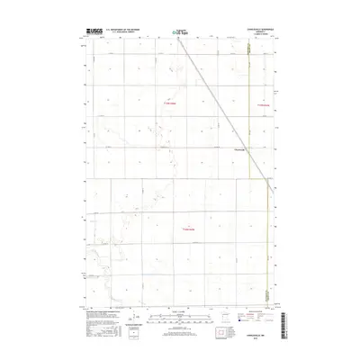
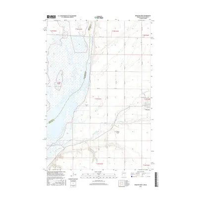
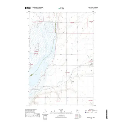
The Wheaton township area and the sprawling wetlands of the Red River Valley are captured in this 1977 orthophotoquad, which combines photographic precision with topographic data. The landscape is dominated by the intricate hydrology of the Bois De Sioux River and the Mustinka River, tracing the natural border between Minnesota and South Dakota. The dramatic visual texture of Mud Lake and the northern reaches of Lake Traverse reveal the shifting shorelines and shallow basins characteristic of this glacial lake bed region. This transition from intensive grid-pattern agriculture to the wilder, marshy terrain of the river bottoms highlights the complex relationship between land use and the Red River of the North's drainage system. Produced in cooperation with the Bureau of Indian Affairs, this survey provides a stark, realistic view of the rural Midwest during the late 1970s.
Find a feature on this map
5 named features on this map. Tap any name to fly to it.
Don’t see what you’re looking for? This feature index may not catch every label — zoom into the map to look around manually.
Map Details
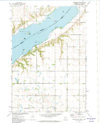
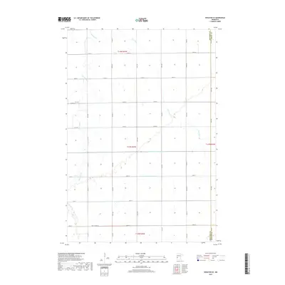
Editions of this 1977 Wheaton West Map
2 editions found
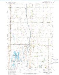
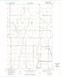
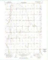
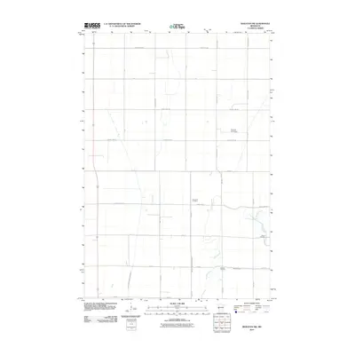
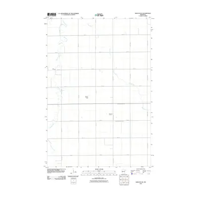
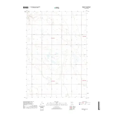
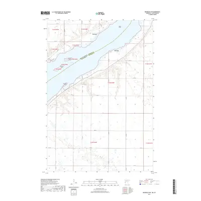
Historical Maps of Wheaton Through Time
56 maps found
1972 Beardsley NW
Traverse County, MN
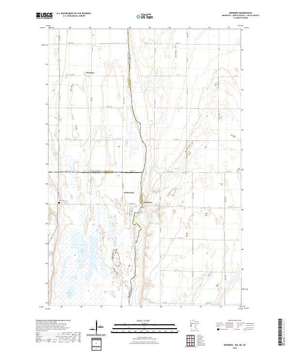
1972 Boisberg
Traverse County, MN
1972 Wheaton West
Traverse County, MN
1974 Beardsley NE
Traverse County, MN
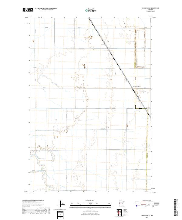
1974 Charlesville
Traverse County, MN
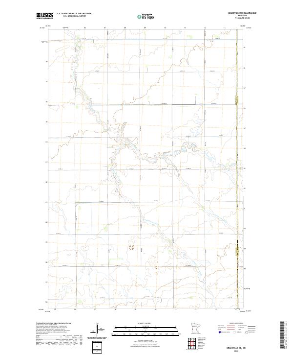
1974 Graceville NE
Traverse County, MN
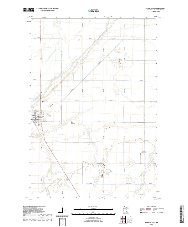
1974 Wheaton East
Traverse County, MN
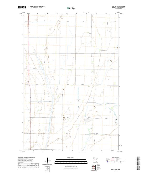
1974 Wheaton NW
Traverse County, MN
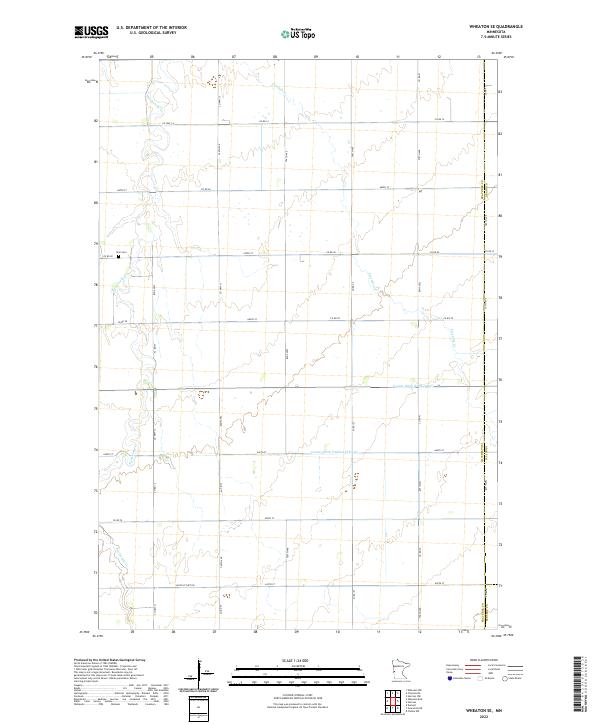
1974 Wheaton SE
Traverse County, MN
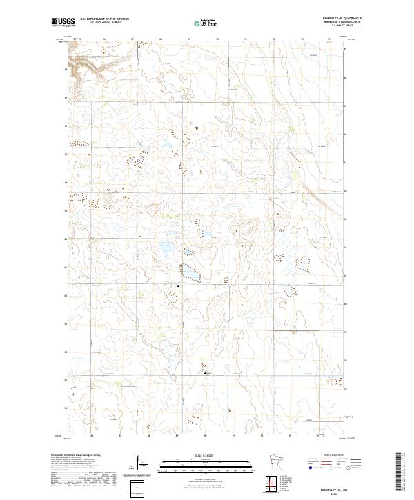
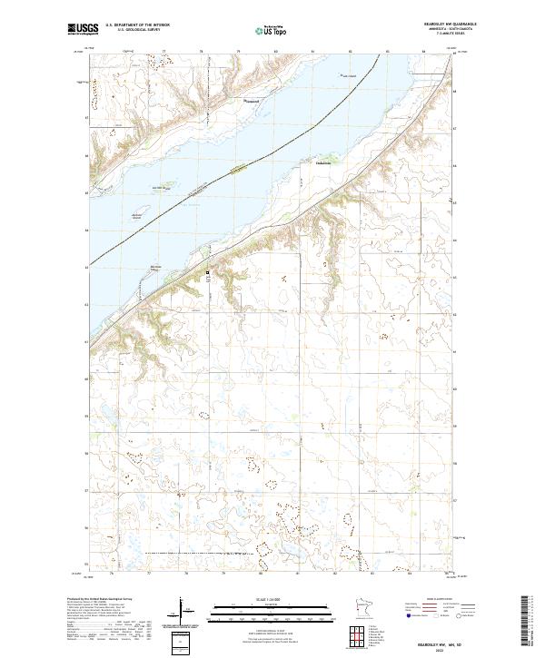
1977 Beardsley NW
Traverse County, MN
1977 Wheaton West
Traverse County, MN
2010 Beardsley NE
Traverse County, MN
2010 Beardsley NW
Traverse County, MN
2010 Charlesville
Traverse County, MN
2010 Graceville NE
Traverse County, MN
2010 Wheaton East
Traverse County, MN
2010 Wheaton NW
Traverse County, MN
2010 Wheaton SE
Traverse County, MN
2010 Wheaton West
Traverse County, MN

2011 Boisberg
Traverse County, MN
2013 Beardsley NE
Traverse County, MN
2013 Beardsley NW
Traverse County, MN
2013 Boisberg
Traverse County, MN
2013 Charlesville
Traverse County, MN
2013 Graceville NE
Traverse County, MN
2013 Wheaton East
Traverse County, MN
2013 Wheaton NW
Traverse County, MN
2013 Wheaton SE
Traverse County, MN
2013 Wheaton West
Traverse County, MN
2016 Beardsley NE
Traverse County, MN
2016 Beardsley NW
Traverse County, MN
2016 Boisberg
Traverse County, MN
2016 Charlesville
Traverse County, MN
2016 Graceville NE
Traverse County, MN
2016 Wheaton East
Traverse County, MN
2016 Wheaton NW
Traverse County, MN
2016 Wheaton SE
Traverse County, MN
2016 Wheaton West
Traverse County, MN
2019 Beardsley NE
Traverse County, MN
2019 Beardsley NW
Traverse County, MN
2019 Boisberg
Traverse County, MN
2019 Charlesville
Traverse County, MN
2019 Graceville NE
Traverse County, MN
2019 Wheaton East
Traverse County, MN
2019 Wheaton NW
Traverse County, MN
2019 Wheaton SE
Traverse County, MN
2019 Wheaton West
Traverse County, MN
2022 Beardsley NE
Traverse County, MN
2022 Beardsley NW
Traverse County, MN
2022 Boisberg
Traverse County, MN
2022 Charlesville
Traverse County, MN
2022 Graceville NE
Traverse County, MN
2022 Wheaton East
Traverse County, MN
2022 Wheaton NW
Traverse County, MN
2022 Wheaton SE
Traverse County, MN
2022 Wheaton West
Traverse County, MN