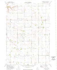
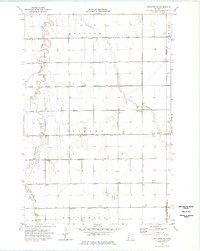
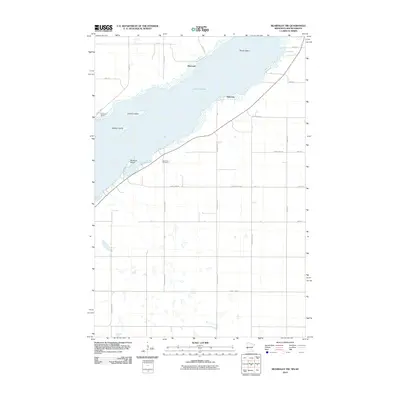
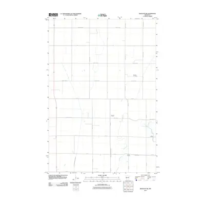
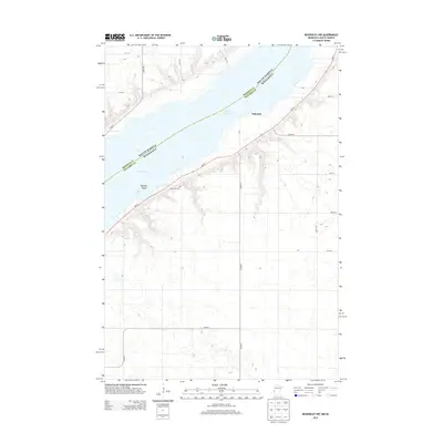
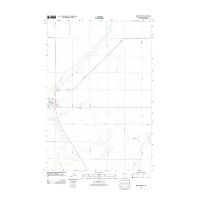
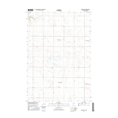
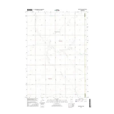
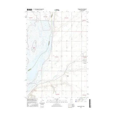
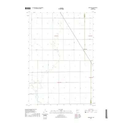
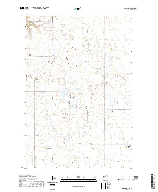
1974 Map of Beardsley NE
USGS Topo · Published 1976About this map
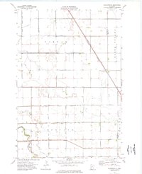
The Walls and Parnell townships define this section of Traverse County, characterized by a highly engineered agricultural landscape in the mid-1970s. The map reveals an extensive water management system designed for prairie drainage, featuring Co Ditch No 52, Co Ditch No 31, and County Ditch No 44. This network reflects the region's transition into intensive farming while maintaining dedicated natural spaces like the National Waterfowl Production Area.
Find a feature on this map
9 named features on this map. Tap any name to fly to it.
Don’t see what you’re looking for? This feature index may not catch every label — zoom into the map to look around manually.
Map Details
Editions of this 1974 Beardsley NE Map
This is the sole edition of this map. No revisions or reprints were ever made.
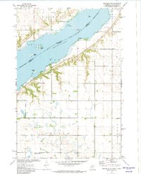
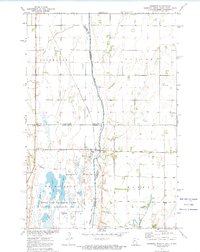
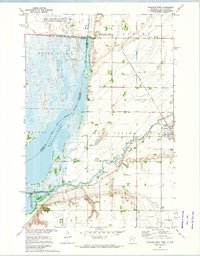
Historical Maps of Traverse County Through Time
56 maps found
1972 Beardsley NW
Traverse County, MN
1972 Boisberg
Traverse County, MN
1972 Wheaton West
Traverse County, MN
1974 Beardsley NE
Traverse County, MN
1974 Charlesville
Traverse County, MN
1974 Graceville NE
Traverse County, MN
1974 Wheaton East
Traverse County, MN
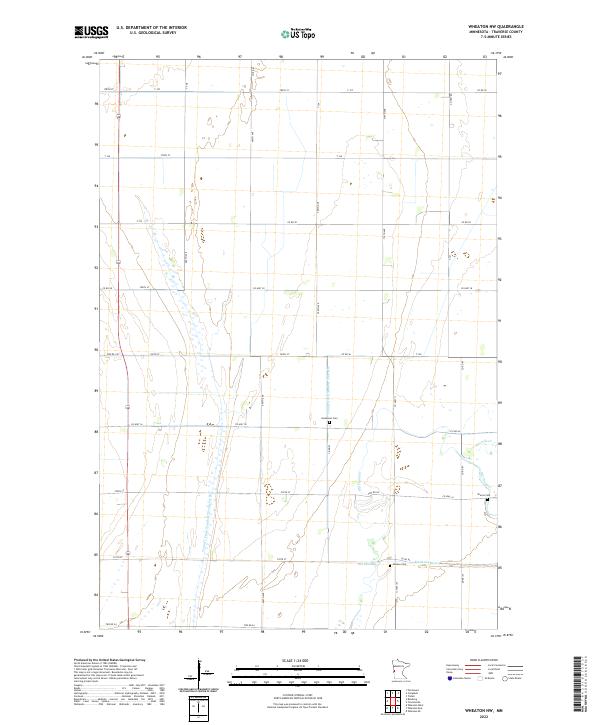
1974 Wheaton NW
Traverse County, MN
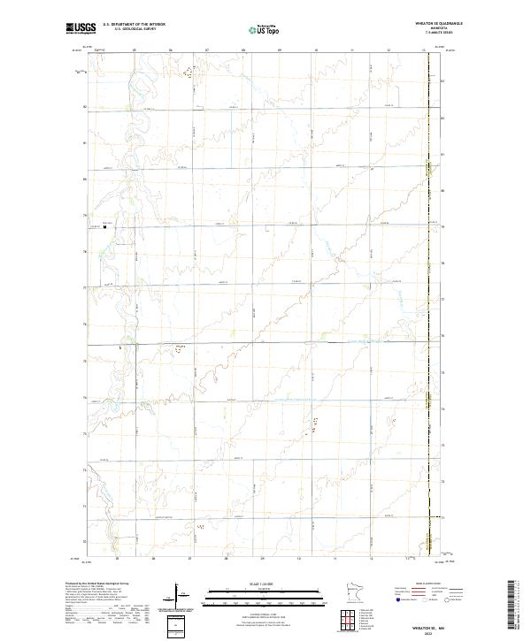
1974 Wheaton SE
Traverse County, MN
1977 Beardsley NW
Traverse County, MN
1977 Wheaton West
Traverse County, MN
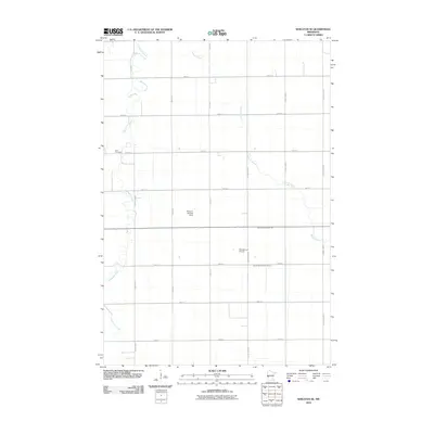
2010 Beardsley NE
Traverse County, MN
2010 Beardsley NW
Traverse County, MN
2010 Charlesville
Traverse County, MN
2010 Graceville NE
Traverse County, MN
2010 Wheaton East
Traverse County, MN
2010 Wheaton NW
Traverse County, MN
2010 Wheaton SE
Traverse County, MN
2010 Wheaton West
Traverse County, MN

2011 Boisberg
Traverse County, MN
2013 Beardsley NE
Traverse County, MN
2013 Beardsley NW
Traverse County, MN
2013 Boisberg
Traverse County, MN
2013 Charlesville
Traverse County, MN
2013 Graceville NE
Traverse County, MN
2013 Wheaton East
Traverse County, MN
2013 Wheaton NW
Traverse County, MN
2013 Wheaton SE
Traverse County, MN
2013 Wheaton West
Traverse County, MN
2016 Beardsley NE
Traverse County, MN
2016 Beardsley NW
Traverse County, MN
2016 Boisberg
Traverse County, MN
2016 Charlesville
Traverse County, MN
2016 Graceville NE
Traverse County, MN
2016 Wheaton East
Traverse County, MN
2016 Wheaton NW
Traverse County, MN
2016 Wheaton SE
Traverse County, MN
2016 Wheaton West
Traverse County, MN
2019 Beardsley NE
Traverse County, MN
2019 Beardsley NW
Traverse County, MN
2019 Boisberg
Traverse County, MN
2019 Charlesville
Traverse County, MN
2019 Graceville NE
Traverse County, MN
2019 Wheaton East
Traverse County, MN
2019 Wheaton NW
Traverse County, MN
2019 Wheaton SE
Traverse County, MN
2019 Wheaton West
Traverse County, MN
2022 Beardsley NE
Traverse County, MN
2022 Beardsley NW
Traverse County, MN
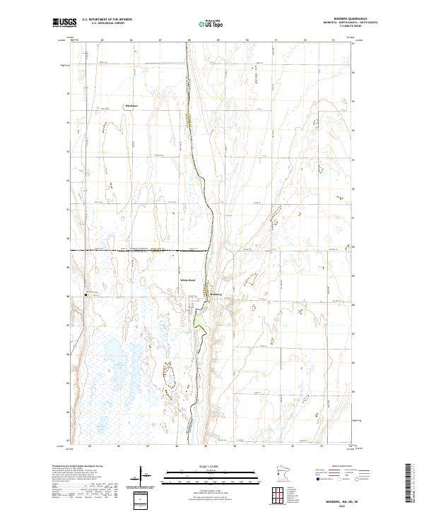
2022 Boisberg
Traverse County, MN
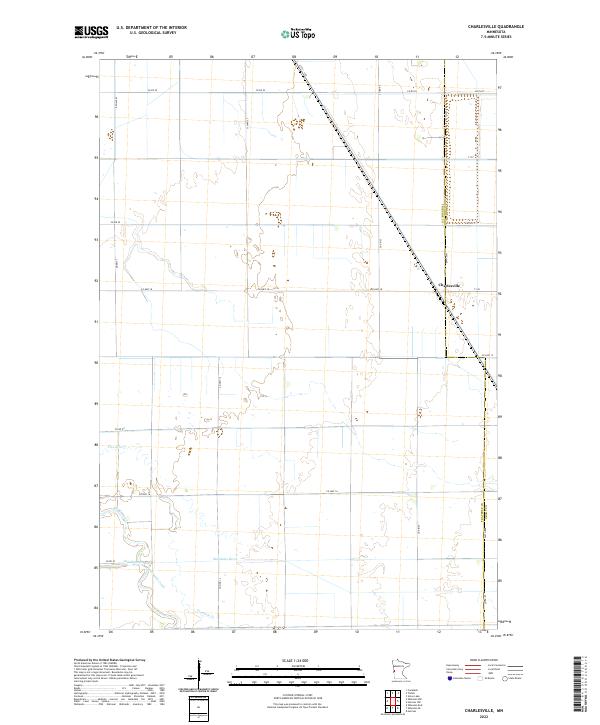
2022 Charlesville
Traverse County, MN
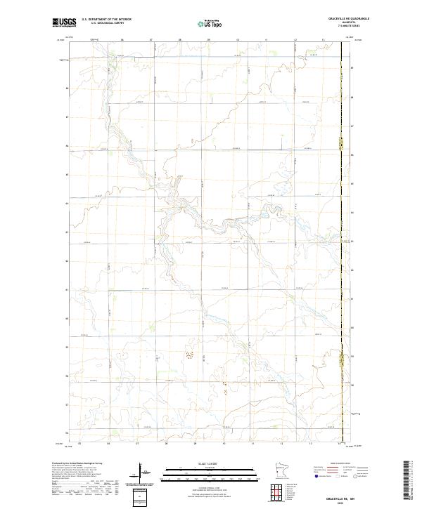
2022 Graceville NE
Traverse County, MN
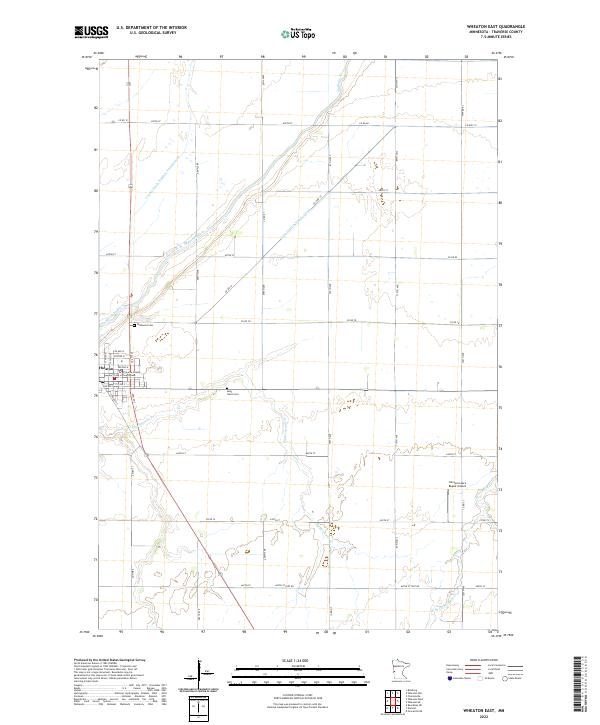
2022 Wheaton East
Traverse County, MN
2022 Wheaton NW
Traverse County, MN
2022 Wheaton SE
Traverse County, MN
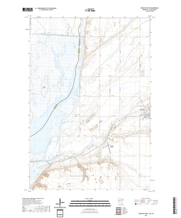
2022 Wheaton West
Traverse County, MN