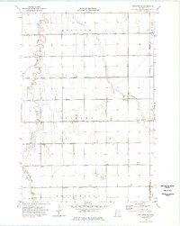
1974 Map of Wheaton SE
USGS Topo · Published 1976About this map
Fivemile Creek and Twelvemile Creek meander across this agricultural landscape, defining the rural character of Traverse and Grant counties during the mid-1970s. The terrain is structured by an extensive network of drainage infrastructure, including County Ditch No 30, County Ditch No 42, and County Ditch No 1, reflecting the region's managed water systems. These ditches follow the section lines of townships such as Redpath, Clifton, and Dollymount, illustrating how human engineering integrated with the natural prairie hydrology.
Find a feature on this map
24 named features on this map. Tap any name to fly to it.
Don’t see what you’re looking for? This feature index may not catch every label — zoom into the map to look around manually.
Map Details
Editions of this 1974 Wheaton SE Map
This is the sole edition of this map. No revisions or reprints were ever made.
Other maps of this area

1910 · Chokio
USGS Topo · 1:62,500

1911 · Herman
USGS Topo · 1:62,500

1912 · Chokio
USGS Topo · 1:62,500

1950 · Graceville
USGS Topo · 1:62,500

1951 · Wheaton
USGS Topo · 1:62,500

1953 · Milbank
USGS Topo · 1:250,000

1958 · Milbank
USGS Topo · 1:250,000

1973 · Herman NW
USGS Topo · 1:24,000
1973 · Herman
USGS Topo · 1:24,000
1973 · Chokio NW
USGS Topo · 1:24,000