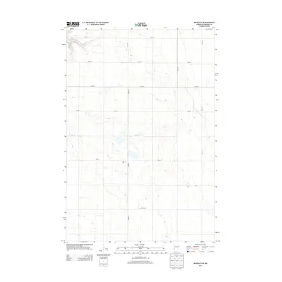
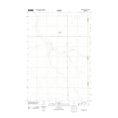
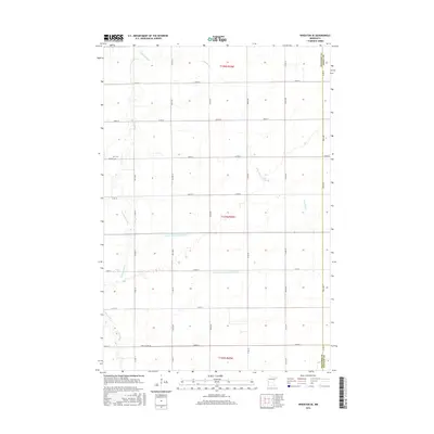
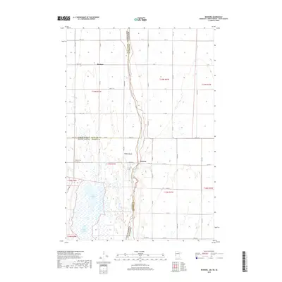
2022 Map of Wheaton SE
USGS Topo · Published 2022About this map
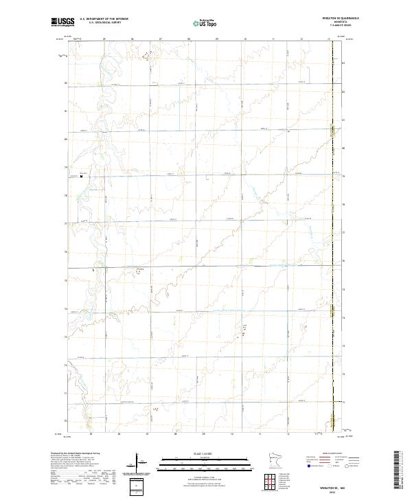
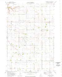
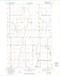
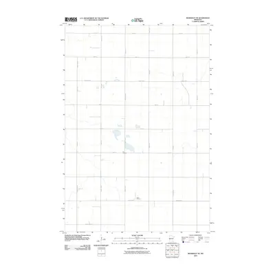
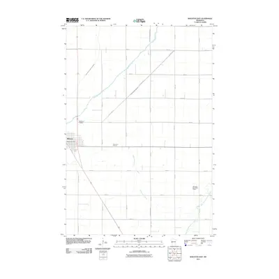
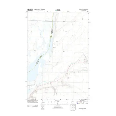
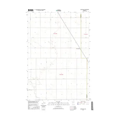
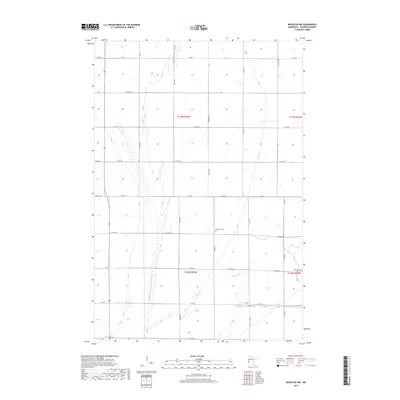
Twelvemile Creek and Fivemile Creek meander across this agricultural section of the Red River Valley, where the landscape is defined by the strict geometry of the Public Land Survey System. The map reveals the intersection of three counties—Traverse, Grant, and Stevens—marking a significant jurisdictional corner. Human intervention in the hydrology of the region is evident in the straight lines of County Ditch Number One and County Ditch Number Fiftyone, engineered to manage drainage across the flat prairie terrain. Near the western edge, Zion Cemetery sits along County Road 82, serving as a primary genealogical landmark for the surrounding rural township. The dense network of section-line roads, including County Highway 13 and 750th Avenue, illustrates the organized settlement pattern of this late 20th and early 21st-century Minnesota farmland.
Find a feature on this map
40 named features on this map. Tap any name to fly to it.
Don’t see what you’re looking for? This feature index may not catch every label — zoom into the map to look around manually.
Map Details
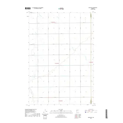
Editions of this 2022 Wheaton SE Map
This is the sole edition of this map. No revisions or reprints were ever made.
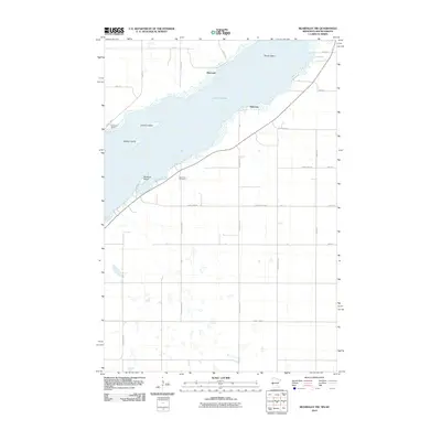
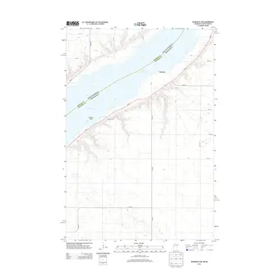
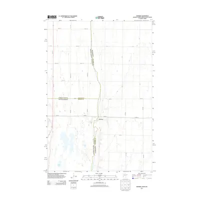
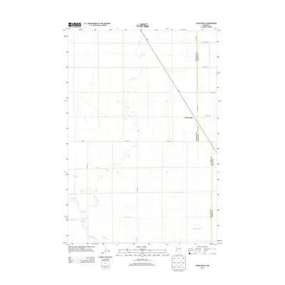
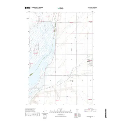
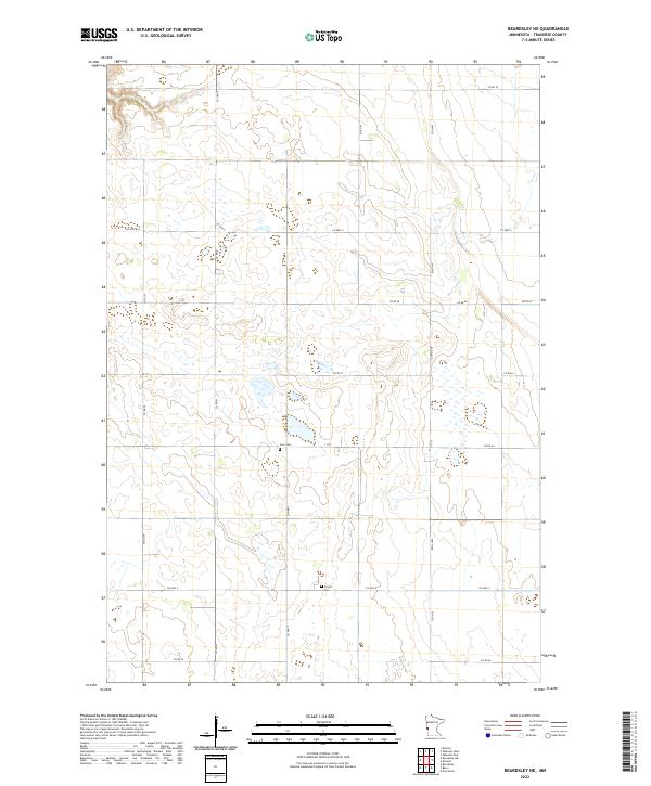
Historical Maps of Traverse County Through Time
56 maps found
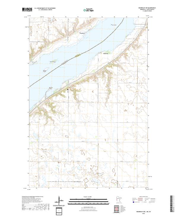
1972 Beardsley NW
Traverse County, MN
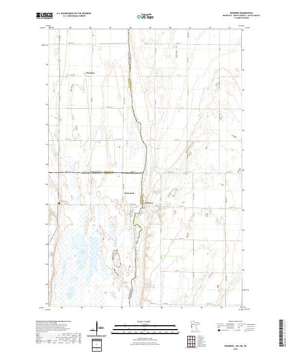
1972 Boisberg
Traverse County, MN
1972 Wheaton West
Traverse County, MN
1974 Beardsley NE
Traverse County, MN
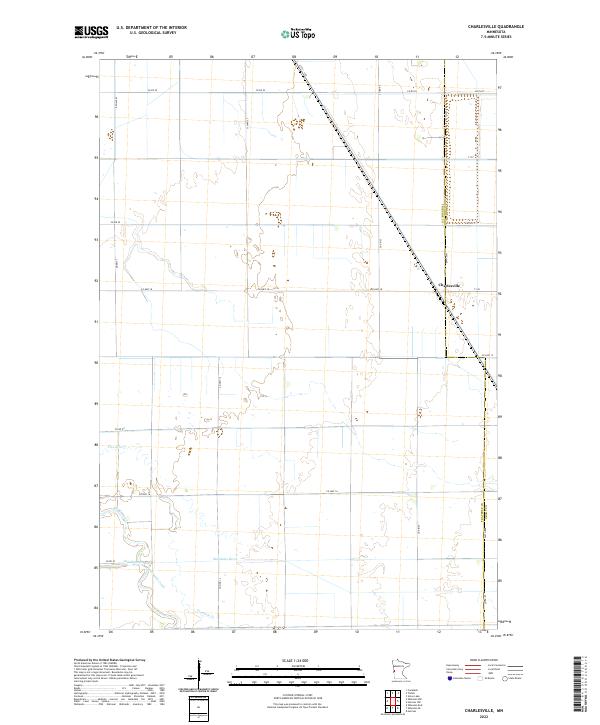
1974 Charlesville
Traverse County, MN
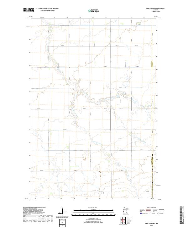
1974 Graceville NE
Traverse County, MN
1974 Wheaton East
Traverse County, MN
1974 Wheaton NW
Traverse County, MN
1974 Wheaton SE
Traverse County, MN
1977 Beardsley NW
Traverse County, MN
1977 Wheaton West
Traverse County, MN
2010 Beardsley NE
Traverse County, MN
2010 Beardsley NW
Traverse County, MN
2010 Charlesville
Traverse County, MN
2010 Graceville NE
Traverse County, MN
2010 Wheaton East
Traverse County, MN
2010 Wheaton NW
Traverse County, MN
2010 Wheaton SE
Traverse County, MN
2010 Wheaton West
Traverse County, MN

2011 Boisberg
Traverse County, MN
2013 Beardsley NE
Traverse County, MN
2013 Beardsley NW
Traverse County, MN
2013 Boisberg
Traverse County, MN
2013 Charlesville
Traverse County, MN
2013 Graceville NE
Traverse County, MN
2013 Wheaton East
Traverse County, MN
2013 Wheaton NW
Traverse County, MN
2013 Wheaton SE
Traverse County, MN
2013 Wheaton West
Traverse County, MN
2016 Beardsley NE
Traverse County, MN
2016 Beardsley NW
Traverse County, MN
2016 Boisberg
Traverse County, MN
2016 Charlesville
Traverse County, MN
2016 Graceville NE
Traverse County, MN
2016 Wheaton East
Traverse County, MN
2016 Wheaton NW
Traverse County, MN
2016 Wheaton SE
Traverse County, MN
2016 Wheaton West
Traverse County, MN
2019 Beardsley NE
Traverse County, MN
2019 Beardsley NW
Traverse County, MN
2019 Boisberg
Traverse County, MN
2019 Charlesville
Traverse County, MN
2019 Graceville NE
Traverse County, MN
2019 Wheaton East
Traverse County, MN
2019 Wheaton NW
Traverse County, MN
2019 Wheaton SE
Traverse County, MN
2019 Wheaton West
Traverse County, MN
2022 Beardsley NE
Traverse County, MN
2022 Beardsley NW
Traverse County, MN
2022 Boisberg
Traverse County, MN
2022 Charlesville
Traverse County, MN
2022 Graceville NE
Traverse County, MN
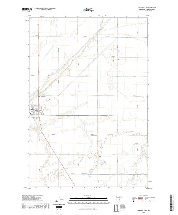
2022 Wheaton East
Traverse County, MN
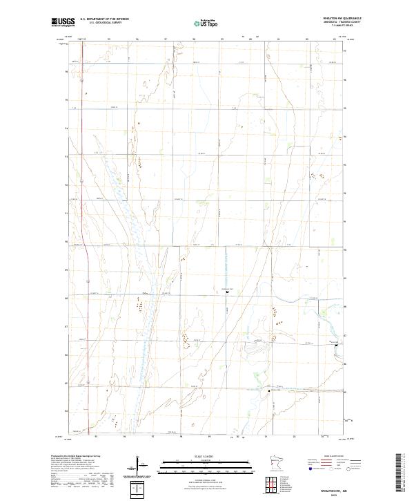
2022 Wheaton NW
Traverse County, MN
2022 Wheaton SE
Traverse County, MN
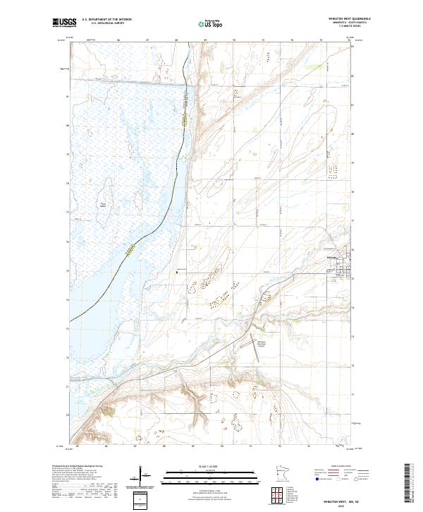
2022 Wheaton West
Traverse County, MN