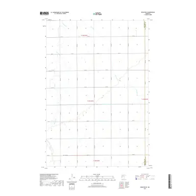
2019 Map of Wheaton SE
USGS Topo · Published 2019About this map
Zion Cem stands as a quiet landmark in this corner of Traverse County, marking the transition between the agricultural sections of t128n r45w and t127n r45w. The landscape is defined by the subtle drainage patterns of Twelvemile Cr and Fivemile Cr, which meander through a grid of rural roads such as Co Rd 84 and Co Rd 78. Human engineering is evident in the straight lines of County Ditch Number One and County Ditch Number Fiftyone, essential infrastructure for the region's farming economy. The map also delineates the jurisdictional boundaries where Traverse County meets Grant County to the east and Stevens County to the south, showing the sparse but organized settlement typical of the western Minnesota plains.
Find a feature on this map
27 named features on this map. Tap any name to fly to it.
Don’t see what you’re looking for? This feature index may not catch every label — zoom into the map to look around manually.
Map Details
Editions of this 2019 Wheaton SE Map
This is the sole edition of this map. No revisions or reprints were ever made.
Other maps of this area

1910 · Chokio
USGS Topo · 1:62,500

1911 · Herman
USGS Topo · 1:62,500

1912 · Chokio
USGS Topo · 1:62,500

1950 · Graceville
USGS Topo · 1:62,500

1951 · Wheaton
USGS Topo · 1:62,500

1953 · Milbank
USGS Topo · 1:250,000

1958 · Milbank
USGS Topo · 1:250,000

1973 · Herman NW
USGS Topo · 1:24,000
1973 · Herman
USGS Topo · 1:24,000
1973 · Chokio NW
USGS Topo · 1:24,000