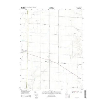
2015 Map of Wheeler
USGS Topo · Published 2015About this map
The border of Effingham Co and Jasper Co divides this landscape, where the village of Wheeler serves as a central hub for the surrounding agricultural prairie. The terrain is defined by a dense network of watercourses that drain the flat uplands, most notably Big Muddy Cr and its various tributaries including Slate Cr, State Cr, and Turkey Cr. In the western portion of the map, the community of Dieterich is situated near the Immaculate Conception Cem, reflecting the early settlement patterns of religious and civic centers in rural Illinois. Smaller named locales such as Island Grove, Gila, and Lis are connected by a precise grid of county roads, with established landmarks like Brewer Cem and Fairfield Cem offering valuable points of reference for genealogists and local historians studying the families who established these townships.
Find a feature on this map
54 named features on this map. Tap any name to fly to it.
Don’t see what you’re looking for? This feature index may not catch every label — zoom into the map to look around manually.
Map Details
Editions of this 2015 Wheeler Map
This is the sole edition of this map. No revisions or reprints were ever made.
Other maps of this area

1940 · Greenup
USGS Topo · 1:62,500

1941 · Newton
USGS Topo · 1:62,500

1943 · Greenup
USGS Topo · 1:62,500

1943 · Newton
USGS Topo · 1:62,500

1953 · Teutopolis
USGS Topo · 1:62,500

1953 · Sailor Springs
USGS Topo · 1:62,500

1958 · Decatur
USGS Topo · 1:250,000

1958 · Belleville
USGS Topo · 1:250,000

1961 · Decatur
USGS Topo · 1:250,000

1962 · Belleville
USGS Topo · 1:250,000