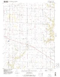
1998 Map of Wheeler
USGS Topo · Published 2003About this map
Wheeler stands as a central settlement in this agricultural landscape near the boundary of Effingham and Jasper counties. The terrain is defined by the winding drainage systems of Muddy Creek, Island Creek, and Dieterich Creek, which have shaped the township boundaries of North Muddy and Grove. Small, rural communities such as Island Grove, Gila, and Lis are distributed across the prairie, connected by a network of section roads and pipelines. A noteworthy piece of local infrastructure is the Landing Strip located north of Wheeler, reflecting the importance of private aviation in managing these large agricultural holdings. To the west, the village of Dieterich is accompanied by municipal features like the Sewage Disposal Ponds, providing a clear view of small-town development and rural utilities at the close of the twentieth century.
Find a feature on this map
23 named features on this map. Tap any name to fly to it.
Don’t see what you’re looking for? This feature index may not catch every label — zoom into the map to look around manually.
Map Details
Editions of this 1998 Wheeler Map
This is the sole edition of this map. No revisions or reprints were ever made.
Other maps of this area

1940 · Greenup
USGS Topo · 1:62,500

1941 · Newton
USGS Topo · 1:62,500

1943 · Greenup
USGS Topo · 1:62,500

1943 · Newton
USGS Topo · 1:62,500

1953 · Teutopolis
USGS Topo · 1:62,500

1953 · Sailor Springs
USGS Topo · 1:62,500

1958 · Decatur
USGS Topo · 1:250,000

1958 · Belleville
USGS Topo · 1:250,000

1961 · Decatur
USGS Topo · 1:250,000

1962 · Belleville
USGS Topo · 1:250,000