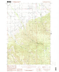
1987 Map of Wheeler Mountain
USGS Topo · Published 1987About this map
Gallatin National Forest dominates the southern half of this landscape, where the terrain rises sharply into the high ridges of Wheeler Mountain. The transition from the alluvial floor to the timbered highlands is marked by a complex network of water management features, including the Gallatin Canal, Association Ditch, and Mystic Lake Ditch, reflecting the critical importance of irrigation to the local valley economy.
Find a feature on this map
32 named features on this map. Tap any name to fly to it.
Don’t see what you’re looking for? This feature index may not catch every label — zoom into the map to look around manually.
Map Details
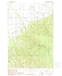
Editions of this 1987 Wheeler Mountain Map
2 editions found
Other maps of this area

1888 · Three Forks
USGS Topo · 1:250,000

1891 · Livingston
USGS Topo · 1:250,000

1893 · Livingston
USGS Topo · 1:250,000

1894 · Three Forks
USGS Topo · 1:250,000

1895 · Three Forks
USGS Topo · 1:250,000

1947 · Bozeman
USGS Topo · 1:250,000

1948 · Bozeman
USGS Topo · 1:250,000

1951 · Bozeman Pass
USGS Topo · 1:62,500

1953 · Bozeman
USGS Topo · 1:62,500

1955 · Bozeman
USGS Topo · 1:250,000