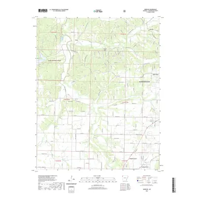
2020 Map of Wheeler
USGS Topo · Published 2020About this map
The Illinois River and its major tributaries, the Muddy Fork and Clear Creek, carve through this section of Washington County northwest of Fayetteville. The landscape transitions from the protected timberlands of the Ozark National Forest in the west to the developing rural outskirts of Wheeler and Prairie Grove. Significant elevation changes are marked by Weaver Hill, while the valley floors are defined by a network of local routes like Rheas Mill Rd and Gibson Hill Rd. Historical continuity is evident in the presence of the Bell and Rose cemeteries, which sit near small settlements like Savoy and Walnut Grove. The map also captures modern infrastructure such as the Wedington Woods Airport, illustrating the evolution from a strictly agrarian river valley to a region supporting contemporary aviation and residential growth.
Find a feature on this map
136 named features on this map. Tap any name to fly to it.
Don’t see what you’re looking for? This feature index may not catch every label — zoom into the map to look around manually.
Map Details
Editions of this 2020 Wheeler Map
This is the sole edition of this map. No revisions or reprints were ever made.
Other maps of this area

1898 · Winslow
USGS Topo · 1:125,000

1899 · Fayetteville
USGS Topo · 1:125,000

1901 · Winslow
USGS Topo · 1:125,000

1901 · Fayetteville
USGS Topo · 1:125,000

1904 · Fayetteville
USGS Topo · 1:125,000

1946 · Fort Smith
USGS Topo · 1:250,000

1954 · Tulsa
USGS Topo · 1:250,000

1958 · Fayetteville
USGS Topo · 1:24,000

1958 · Tulsa
USGS Topo · 1:250,000

1963 · Tulsa
USGS Topo · 1:250,000