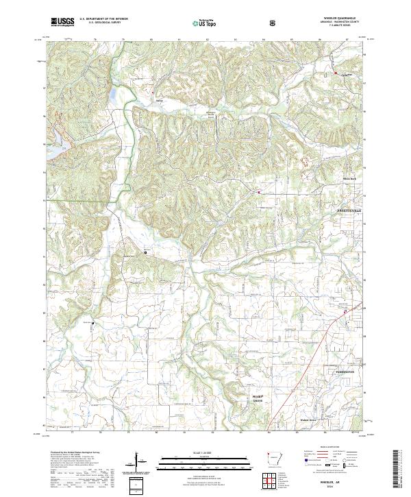
2024 Map of Wheeler
USGS Topo · Published 2024About this map
Ozark National Forest lands occupy the northwestern corner of this Washington County landscape, where the terrain drops toward the Illinois River and Clear Creek. This 2024 edition highlights a mix of rural agrarian tracts and the advancing urban edges of Fayetteville and Farmington. The mapping of small settlements like Savoy and White Rock reveals the persistent rural network of the Arkansas highlands, connected by namesake routes like Muddy A Beef Farm Rd. Local heritage is anchored by sites such as Bell Cem and Rose Cem, while modern infrastructure includes the Wedington Woods Airport. The drainage patterns of Goose Creek and the Muddy Fork continue to define the valley floor as they have for generations, providing a topographic bridge between the forested uplands and the growing residential centers of the Prairie Grove vicinity.
Find a feature on this map
139 named features on this map. Tap any name to fly to it.
Don’t see what you’re looking for? This feature index may not catch every label — zoom into the map to look around manually.
Map Details
Editions of this 2024 Wheeler Map
This is the sole edition of this map. No revisions or reprints were ever made.
Other maps of this area

1898 · Winslow
USGS Topo · 1:125,000

1899 · Fayetteville
USGS Topo · 1:125,000

1901 · Winslow
USGS Topo · 1:125,000

1901 · Fayetteville
USGS Topo · 1:125,000

1904 · Fayetteville
USGS Topo · 1:125,000

1946 · Fort Smith
USGS Topo · 1:250,000

1954 · Tulsa
USGS Topo · 1:250,000

1958 · Fayetteville
USGS Topo · 1:24,000

1958 · Tulsa
USGS Topo · 1:250,000

1963 · Tulsa
USGS Topo · 1:250,000