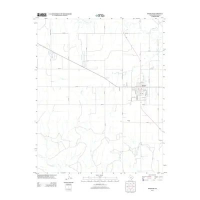
2012 Map of Wheeler
USGS Topo · Published 2012About this map
The city of Wheeler stands as the central hub of this High Plains landscape, organized around a traditional grid of streets including Main St and S Mobeetie St. The surrounding countryside is defined by an extensive network of section roads, such as Co Rd-13 and FM-2473, which support the ranching and agricultural operations of the Texas Panhandle. Local history is anchored at the Wheeler Cem south of the main settlement, a vital landmark for genealogical research in the county.
Find a feature on this map
41 named features on this map. Tap any name to fly to it.
Don’t see what you’re looking for? This feature index may not catch every label — zoom into the map to look around manually.
Map Details
Editions of this 2012 Wheeler Map
This is the sole edition of this map. No revisions or reprints were ever made.
Other maps of this area

1954 · Amarillo
USGS Topo · 1:250,000

1958 · Amarillo
USGS Topo · 1:250,000

1962 · Twitty
USGS Topo · 1:24,000

1962 · Wheeler
USGS Topo · 1:24,000

1962 · Spring Creek
USGS Topo · 1:24,000

1962 · Wheeler SE
USGS Topo · 1:24,000

1962 · Pakan
USGS Topo · 1:24,000

1963 · Kelton NW
USGS Topo · 1:24,000

1963 · Briscoe
USGS Topo · 1:24,000

1963 · Allison SW
USGS Topo · 1:24,000