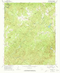
1961 Map of Whetstone
USGS Topo · Published 1973About this map
Whetstone and Mountain Rest anchor this 1961 survey of the Upstate South Carolina wilderness, a region defined by the deep gorges of the Chattooga River and Chauga River. The landscape is a mosaic of public lands within the Sumter National Forest and Chattahoochee National Forest, where steep ridges like Whetstone Ridge and peaks such as Hurricane Mountain and Stumphouse Mountain dictate the placement of early mountain settlements.
Find a feature on this map
95 named features on this map. Tap any name to fly to it.
Don’t see what you’re looking for? This feature index may not catch every label — zoom into the map to look around manually.
Map Details
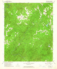
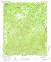
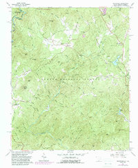
Editions of this 1961 Whetstone Map
4 editions found
Other maps of this area

1886 · Walhalla
USGS Topo · 1:125,000

1892 · Walhalla
USGS Topo · 1:125,000

1896 · Walhalla
USGS Topo · 1:125,000

1935 · Rabun Bald
USGS Topo · 1:24,000
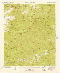
1946 · Rabun Bald
USGS Topo · 1:24,000
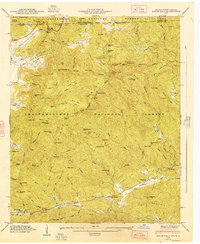
1947 · Rabun Bald
USGS Topo · 1:24,000

1954 · Greenville
USGS Topo · 1:250,000

1957 · Tugaloo Lake
USGS Topo · 1:24,000
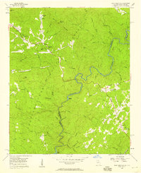
1957 · Rainy Mountain
USGS Topo · 1:24,000

1958 · Greenville
USGS Topo · 1:250,000