
1970 Map of Whirlwind Rock
USGS Topo · Published 1973About this map
Begay Windmill and its adjacent water tank stand as vital infrastructure on the Navajo Plateau during the early 1970s. This land within the Navajo Indian Reservation is defined by a sparse but essential network of water sources, including Red Spot Spring, Wolf Spring, and Old Farm Spring, which supported livestock and small-scale habitation in the high desert. The landscape is marked by dramatic geological formations such as Whirlwind Rock, Hard Rock Mesa, and Flat Mesa.
Find a feature on this map
20 named features on this map. Tap any name to fly to it.
Don’t see what you’re looking for? This feature index may not catch every label — zoom into the map to look around manually.
Map Details
Editions of this 1970 Whirlwind Rock Map
This is the sole edition of this map. No revisions or reprints were ever made.
Other maps of this area

1883 · Marsh Pass
USGS Topo · 1:250,000

1892 · Marsh Pass
USGS Topo · 1:250,000

1956 · Marble Canyon
USGS Topo · 1:250,000

1959 · Marble Canyon
USGS Topo · 1:250,000

1961 · Marble Canyon
USGS Topo · 1:250,000

1970 · Cow Springs
USGS Topo · 1:24,000

1970 · Square Butte
USGS Topo · 1:24,000

1970 · Black Mesa Wash NW
USGS Topo · 1:24,000
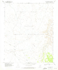
1970 · Two Red Mesas
USGS Topo · 1:24,000
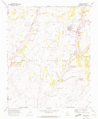
1970 · Shonto
USGS Topo · 1:24,000