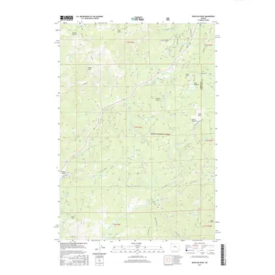
2017 Map of Whistler Point
USGS Topo · Published 2017About this map
Ochoco National Forest dominates this section of the Ochoco Mountains in central Oregon, where a complex network of forest development roads and seasonal springs defines the high-country geography. The landscape is characterized by prominent high points such as Hamilton Butte, Grant Butte, and Whistler Point, which overlook a series of vital water sources including Mahogany Spring and Marks Lake. The drainage patterns of Marks Cr, Ochoco Cr, and Little Hay Cr illustrate the watershed's importance to the region's ecology. Historical land use is visible through the infrastructure for recreation and forestry, including the Snomobile # 1 trail, the Ponderosa Loop, and various bike ties. This mapping of the Crook and Wheeler County border area captures the terrain before modern fire or management changes, preserving the locations of remote landmarks like Cougar Rock and Spears Meadow.
Find a feature on this map
78 named features on this map. Tap any name to fly to it.
Don’t see what you’re looking for? This feature index may not catch every label — zoom into the map to look around manually.
Map Details
Editions of this 2017 Whistler Point Map
This is the sole edition of this map. No revisions or reprints were ever made.
Other maps of this area

1926 · Mitchell
USGS Topo · 1:125,000

1948 · Ochoco Reservoir
USGS Topo · 1:62,500

1950 · Ochoco Reservoir
USGS Topo · 1:62,500

1951 · Lookout Mtn
USGS Topo · 1:62,500

1955 · Bend
USGS Topo · 1:250,000

1957 · Bend
USGS Topo · 1:250,000

1958 · Bend
USGS Topo · 1:250,000

1968 · Lawson Mtn
USGS Topo · 1:24,000

1968 · Stephenson Mtn
USGS Topo · 1:24,000

1968 · Opal Mountain
USGS Topo · 1:24,000