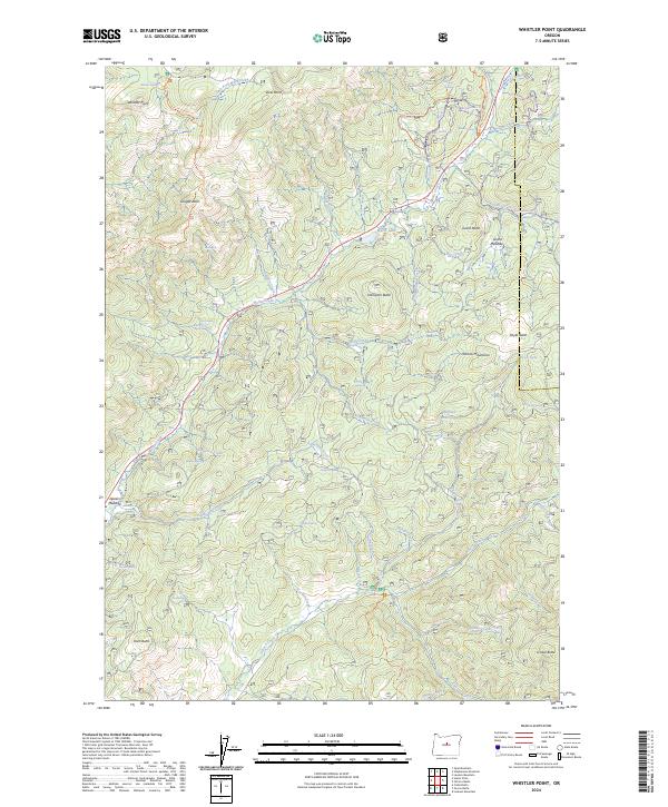
2024 Map of Whistler Point
USGS Topo · Published 2024About this map
The Mill Creek Wilderness dominates the northern reaches of this landscape, where high elevation peaks like Whistler Point and Cougar Rock oversee a network of alpine springs and creeks. Water is the defining resource of the terrain, managed via the Whitney Reservoir and dozens of named water sources such as Wickheiser Spring and Claypool Spring that sustain the high country.
Find a feature on this map
62 named features on this map. Tap any name to fly to it.
Don’t see what you’re looking for? This feature index may not catch every label — zoom into the map to look around manually.
Map Details
Editions of this 2024 Whistler Point Map
This is the sole edition of this map. No revisions or reprints were ever made.
Other maps of this area

1926 · Mitchell
USGS Topo · 1:125,000

1948 · Ochoco Reservoir
USGS Topo · 1:62,500

1950 · Ochoco Reservoir
USGS Topo · 1:62,500

1951 · Lookout Mtn
USGS Topo · 1:62,500

1955 · Bend
USGS Topo · 1:250,000

1957 · Bend
USGS Topo · 1:250,000

1958 · Bend
USGS Topo · 1:250,000

1968 · Lawson Mtn
USGS Topo · 1:24,000

1968 · Stephenson Mtn
USGS Topo · 1:24,000

1968 · Opal Mountain
USGS Topo · 1:24,000