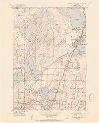
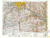
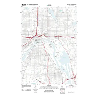
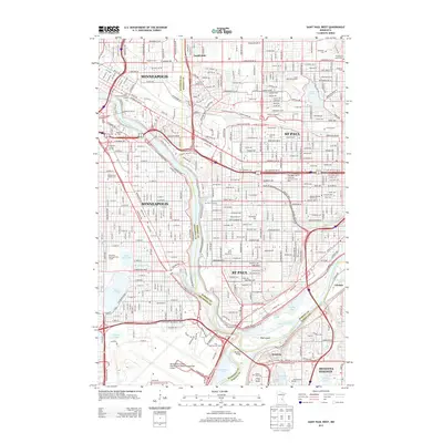
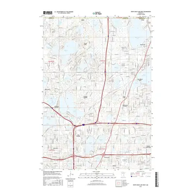
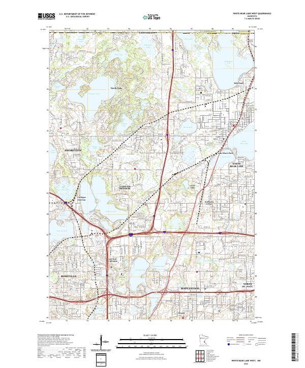
1952 Map of White Bear Lake West
USGS Topo · Published 1954About this map
Bald Eagle Lake and Pleasant Lake anchor this early 1950s survey of the northern St. Paul suburbs, where an intricate network of wetlands and small lakes shaped the early development of Roseville and Little Canada. The map documents a critical period of suburbanization, capturing the transition from a rural landscape of schools like Snail Lake Sch and Gall Sch to more modern infrastructure. Notable landmarks of the era include the Pumping Station and St Paul Waterworks, which managed the vital hydrologic resources of Vadnais Lake. The landscape is further defined by its wooded areas, most notably the John H Allison Forest, and the transportation corridors of the Northern Pacific and Sault Ste Marie and Minneapolis rail lines. Family and community heritage is grounded in sites such as Bethany Cem and the Lake Vadnais Ch.
Find a feature on this map
76 named features on this map. Tap any name to fly to it.
Don’t see what you’re looking for? This feature index may not catch every label — zoom into the map to look around manually.
Map Details
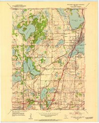
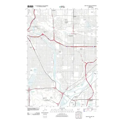
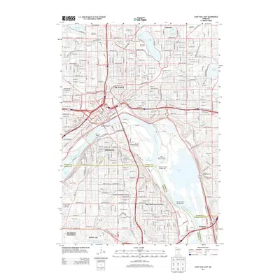
Editions of this 1952 White Bear Lake West Map
3 editions found
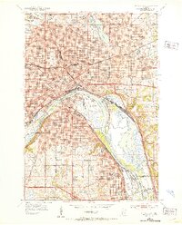
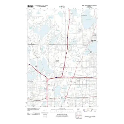
Historical Maps of Maplewood Through Time
23 maps found
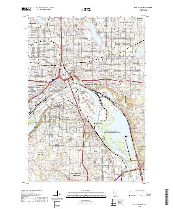
1951 St. Paul East
Ramsey County, MN

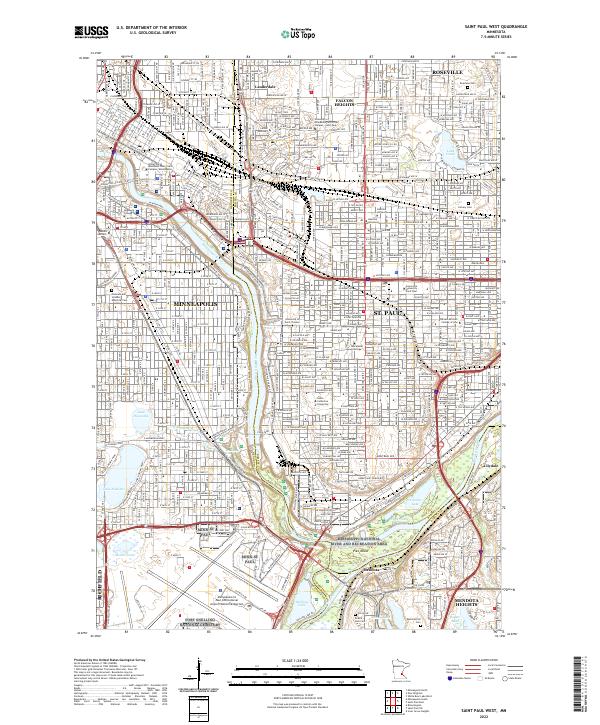
1951 St. Paul West
Ramsey County, MN
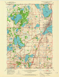
1952 White Bear Lake West
Ramsey County, MN
1953 Saint Paul
Ramsey County, MN

1959 Saint Paul
Ramsey County, MN
1967 St Paul East
Ramsey County, MN
1967 St. Paul West
Ramsey County, MN
1967 White Bear Lake West
Ramsey County, MN
2010 Saint Paul East
Ramsey County, MN
2010 Saint Paul West
Ramsey County, MN
2010 White Bear Lake West
Ramsey County, MN
2013 Saint Paul East
Ramsey County, MN
2013 Saint Paul West
Ramsey County, MN
2013 White Bear Lake West
Ramsey County, MN
2016 Saint Paul East
Ramsey County, MN
2016 Saint Paul West
Ramsey County, MN
2016 White Bear Lake West
Ramsey County, MN
2019 Saint Paul East
Ramsey County, MN
2019 Saint Paul West
Ramsey County, MN
2019 White Bear Lake West
Ramsey County, MN
2022 Saint Paul East
Ramsey County, MN
2022 Saint Paul West
Ramsey County, MN
2022 White Bear Lake West
Ramsey County, MN