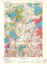
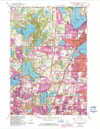
1967 Map of White Bear Lake West
USGS Topo · Published 1973About this map
The suburban development of the northern Twin Cities metropolitan area is captured here during a period of rapid expansion across Ramsey County. Centered on the sprawling residential neighborhoods of Shoreview, Roseville, and Maplewood, the landscape shows a dense grid of new streets encroaching upon the historic lakes and wetlands. An intriguing industrial and utility network is visible, including the Aqueduct system feeding into Vadnais Lake and the Pumping Station nearby. The eastern edge of the map features the established core of White Bear Lake, where institutions like St Marys School and Lakewood State Jr College serve the growing population. Heavy infrastructure like the Northern Pacific and Burlington Northern rail lines cut through the terrain, while the 1972 revisions highlight the expanding urban footprint in purple, particularly around Little Canada and North ST Paul.
Find a feature on this map
77 named features on this map. Tap any name to fly to it.
Don’t see what you’re looking for? This feature index may not catch every label — zoom into the map to look around manually.
Map Details
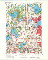
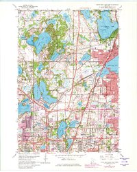
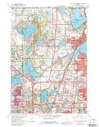
Editions of this 1967 White Bear Lake West Map
5 editions found
Other maps of this area

1896 · St. Paul
USGS Topo · 1:62,500

1902 · White Bear
USGS Topo · 1:62,500

1946 · Hudson
USGS Topo · 1:62,500

1948 · Stillwater
USGS Topo · 1:62,500

1949 · Hudson
USGS Topo · 1:62,500

1949 · Stillwater
USGS Topo · 1:62,500

1949 · Lake Elmo
USGS Topo · 1:24,000

1950 · Lake Elmo
USGS Topo · 1:24,000

1951 · White Bear Lake East
USGS Topo · 1:24,000

1951 · St. Paul West
USGS Topo · 1:24,000