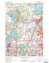
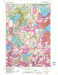
1967 Map of White Bear Lake West
USGS Topo · Published 1987About this map
Pleasant Lake and the residential enclaves of North Oaks anchor the northwestern portion of this Ramsey County survey, which documents the post-war suburban transformation of the Twin Cities' northern perimeter. The landscape is defined by its glaciated hydrology, from the large basins of Bald Eagle Lake and White Bear Lake to the interconnected chain of John H Alli Vadnais Lake and Sucker Lake. A Pumping Station and several flowing wells near Vadnais Heights highlight the region's importance to the local water supply system.
Find a feature on this map
83 named features on this map. Tap any name to fly to it.
Don’t see what you’re looking for? This feature index may not catch every label — zoom into the map to look around manually.
Map Details
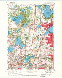
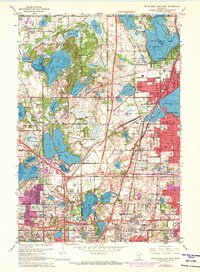
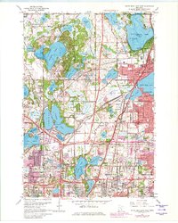
Editions of this 1967 White Bear Lake West Map
5 editions found
Other maps of this area

1896 · St. Paul
USGS Topo · 1:62,500

1902 · White Bear
USGS Topo · 1:62,500

1946 · Hudson
USGS Topo · 1:62,500

1948 · Stillwater
USGS Topo · 1:62,500

1949 · Hudson
USGS Topo · 1:62,500

1949 · Stillwater
USGS Topo · 1:62,500

1949 · Lake Elmo
USGS Topo · 1:24,000

1950 · Lake Elmo
USGS Topo · 1:24,000

1951 · White Bear Lake East
USGS Topo · 1:24,000

1951 · St. Paul West
USGS Topo · 1:24,000