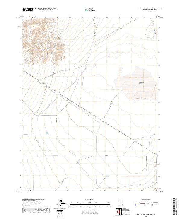
2021 Map of White Blotch Springs NE
USGS Topo · Published 2021About this map
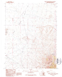
Sand Spring Valley dominates this high-desert landscape in Lincoln County, where water is the primary architect of human activity. The map reveals a sparse but deliberate network of local roads that likely serve remote ranching operations or research interests, including the intersection of Gunderson Rd, Desert Dog Rd, and Farm Rd. Evidence of the region's arid character is found in the scattered water sources such as Sand Spring in the northeast and South Western Spring to the west. While the terrain appears open, the presence of names like Rachel Rd and Groom Rd hints at the area's proximity to well-known desert corridors and government land tracts. The topographic data also charts the transition from the flat basin floor toward the more complex elevations in the northwest near t2s r54e.
Find a feature on this map
19 named features on this map. Tap any name to fly to it.
Don’t see what you’re looking for? This feature index may not catch every label — zoom into the map to look around manually.
Map Details
Editions of this 2021 White Blotch Springs NE Map
This is the sole edition of this map. No revisions or reprints were ever made.
Other maps of this area

1942 · Penoyer Valley
USGS Topo · 1:125,000

1952 · White Blotch Springs
USGS Topo · 1:62,500

1954 · Caliente
USGS Topo · 1:250,000

1959 · Caliente
USGS Topo · 1:250,000

1964 · Tempiute Mtn
USGS Topo · 1:62,500
1985 · Black Top
USGS Topo · 1:24,000

1985 · Worthington Peak SW
USGS Topo · 1:24,000
1986 · Honest John Well
USGS Topo · 1:24,000
1987 · Tempiute Mountain South
USGS Topo · 1:24,000
1987 · Tempiute Mountain North
USGS Topo · 1:24,000