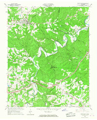
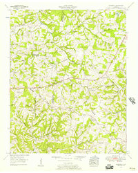
1966 Map of White Bluff
USGS Topo · Published 1967About this map
White Bluff serves as the primary hub in this mid-1960s survey of the wooded ridges where Dickson, Cheatham, and Williamson Counties meet. The landscape is defined by the winding course of Turnbull Creek and its many tributaries, such as Little Turnbull Creek and Stillhouse Branch, which carve through the local uplands. The Louisville and Nashville railroad cuts a straight path across the northern sector, passing through White Bluff and on toward Craggie Hope and Kingston Springs.
Find a feature on this map
48 named features on this map. Tap any name to fly to it.
Don’t see what you’re looking for? This feature index may not catch every label — zoom into the map to look around manually.
Map Details
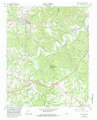
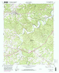
Editions of this 1966 White Bluff Map
3 editions found
Other maps of this area

1901 · Colombia
USGS Topo · 1:125,000

1930 · White Bluff
USGS Topo · 1:62,500

1933 · White Bluff
USGS Topo · 1:62,500

1936 · Burns
USGS Topo · 1:24,000

1936 · Craigfield
USGS Topo · 1:24,000

1936 · Lyles
USGS Topo · 1:24,000

1951 · Fairview
USGS Topo · 1:24,000
1953 · Lyles
USGS Topo · 1:24,000
1953 · Craigfield
USGS Topo · 1:24,000

1953 · Burns
USGS Topo · 1:24,000