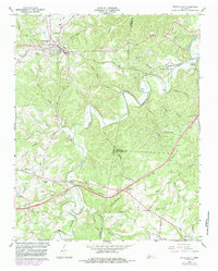
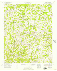
1966 Map of White Bluff
USGS Topo · Published 1984About this map
White Bluff serves as the primary hub of this Middle Tennessee landscape, situated along the Seaboard Coast Line railroad and marked by local landmarks like Poplar Spring and the Flowing Well. The terrain is deeply carved by water, with the Harpeth River winding through the northeast and Turnbull Creek snaking through the center, joined by numerous tributaries such as Indian Camp Branch and Beaverdam Creek.
Find a feature on this map
50 named features on this map. Tap any name to fly to it.
Don’t see what you’re looking for? This feature index may not catch every label — zoom into the map to look around manually.
Map Details
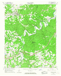
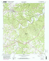
Editions of this 1966 White Bluff Map
3 editions found
Other maps of this area

1901 · Colombia
USGS Topo · 1:125,000

1930 · White Bluff
USGS Topo · 1:62,500

1933 · White Bluff
USGS Topo · 1:62,500

1936 · Burns
USGS Topo · 1:24,000

1936 · Craigfield
USGS Topo · 1:24,000

1936 · Lyles
USGS Topo · 1:24,000

1951 · Fairview
USGS Topo · 1:24,000
1953 · Lyles
USGS Topo · 1:24,000
1953 · Craigfield
USGS Topo · 1:24,000

1953 · Burns
USGS Topo · 1:24,000