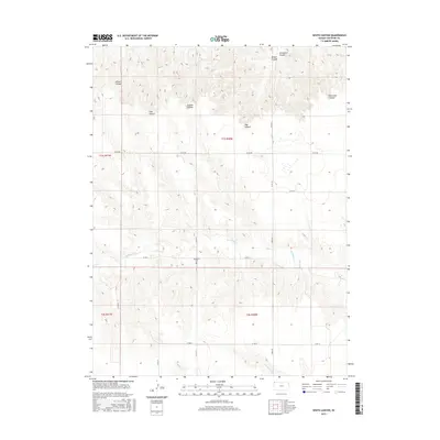
2015 Map of White Canyon
USGS Topo · Published 2015About this map
The rugged drainage systems of the High Plains are clearly defined in this detailed study of Cheyenne County. Deeply etched terrain features like White Canyon and Schwyhart Canyon dominate the northern landscape, while Wilson Canyon and Trail Canyon intersect the western plateaus. This topographic record emphasizes the rural grid of the Public Land Survey System, with township and range lines overlaying the natural hydrology. Genealogists and local historians will find the location of the Hackberry Cem particularly significant, situated near the headwaters of Hackberry Cr. The map further documents a series of named watercourses and drainages including Plum Cr and Cleveland Run, tracing the intricate seasonal waterways that characterize this western Kansas region.
Find a feature on this map
31 named features on this map. Tap any name to fly to it.
Don’t see what you’re looking for? This feature index may not catch every label — zoom into the map to look around manually.
Map Details
Editions of this 2015 White Canyon Map
This is the sole edition of this map. No revisions or reprints were ever made.
Other maps of this area

1942 · St. Francis
USGS Topo · 1:62,500

1943 · St. Francis
USGS Topo · 1:62,500

1951 · St Francis
USGS Topo · 1:62,500

1951 · Bird City North
USGS Topo · 1:62,500

1954 · McCook
USGS Topo · 1:250,000

1954 · Goodland
USGS Topo · 1:250,000

1956 · Goodland
USGS Topo · 1:250,000

1957 · McCook
USGS Topo · 1:250,000

1957 · Goodland
USGS Topo · 1:250,000

1958 · McCook
USGS Topo · 1:250,000