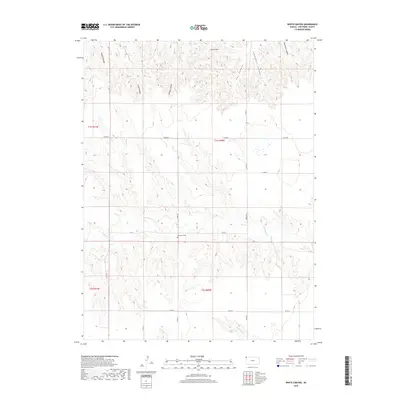
2018 Map of White Canyon
USGS Topo · Published 2018About this map
Hackberry Cem serves as a quiet landmark in the central portion of this Northwest Kansas landscape, situated near the intersection of Co RD Y and Co RD 13. The terrain is defined by an intricate network of drainage systems, where the uplands are deeply dissected by numerous named draws. To the north, a series of significant geographic features including White Canyon, Schwyhart Canyon, and Patterson Canyon channel toward the regional breaks. In the southern half, the hydrology shifts toward Hackberry Cr, Plum Cr, and Cleveland Run. The section-line road grid, including Parks RD and Co RD BB, reveals the organized agricultural layout of Cheyenne County, providing clear points of reference for genealogical research and land use studies in this rural corridor.
Find a feature on this map
24 named features on this map. Tap any name to fly to it.
Don’t see what you’re looking for? This feature index may not catch every label — zoom into the map to look around manually.
Map Details
Editions of this 2018 White Canyon Map
This is the sole edition of this map. No revisions or reprints were ever made.
Other maps of this area

1942 · St. Francis
USGS Topo · 1:62,500

1943 · St. Francis
USGS Topo · 1:62,500

1951 · St Francis
USGS Topo · 1:62,500

1951 · Bird City North
USGS Topo · 1:62,500

1954 · McCook
USGS Topo · 1:250,000

1954 · Goodland
USGS Topo · 1:250,000

1956 · Goodland
USGS Topo · 1:250,000

1957 · McCook
USGS Topo · 1:250,000

1957 · Goodland
USGS Topo · 1:250,000

1958 · McCook
USGS Topo · 1:250,000