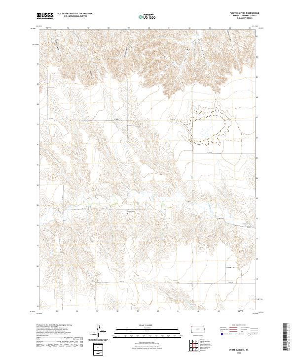
2022 Map of White Canyon
USGS Topo · Published 2022About this map
White Canyon and a series of neighboring drainage systems define this landscape in the high plains of Cheyenne County. Deeply incised canyons like Wilson Canyon, Trail Canyon, and Jackson Canyon carve the northern terrain, illustrating the dramatic erosion patterns typical of this region. The map reveals a sparse but organized settlement pattern governed by the Public Land Survey System, with township and range lines like t1s r40w directing the placement of rural corridors such as Co RD BB and Parks Rd. A significant focal point for local history is Hackberry Cem, located near the banks of Hackberry Cr. To the south, the terrain levels slightly as drainage transitions toward Cleveland Run and Plum Cr, showing the essential relationship between water access and the layout of this western Kansas ranching and farming country.
Find a feature on this map
24 named features on this map. Tap any name to fly to it.
Don’t see what you’re looking for? This feature index may not catch every label — zoom into the map to look around manually.
Map Details
Editions of this 2022 White Canyon Map
This is the sole edition of this map. No revisions or reprints were ever made.
Other maps of this area

1942 · St. Francis
USGS Topo · 1:62,500

1943 · St. Francis
USGS Topo · 1:62,500

1951 · St Francis
USGS Topo · 1:62,500

1951 · Bird City North
USGS Topo · 1:62,500

1954 · McCook
USGS Topo · 1:250,000

1954 · Goodland
USGS Topo · 1:250,000

1956 · Goodland
USGS Topo · 1:250,000

1957 · McCook
USGS Topo · 1:250,000

1957 · Goodland
USGS Topo · 1:250,000

1958 · McCook
USGS Topo · 1:250,000