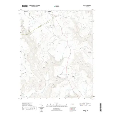
2019 Map of White City
USGS Topo · Published 2019About this map
The Cumberland Plateau dominates this portion of the Tennessee landscape, where the border of Grundy and Marion counties follows the high ridgelines above deeply recessed coves. Small upland communities like White City and Lankford Town are established along the flatter reaches of the plateau, while the settlement of Comfort lies at the base of the escarpment. The complex topography is defined by significant drainage systems including Gizzard Creek and the long, winding course of Big Fiery Gizzard Cr. Local history is preserved in sites such as Gregg Cem and Oak Grove Cem, while the historic transport network is visible in the route of the Old Stage Coach Rd. The area's verticality is highlighted by distinctive landmarks like Plummeting Springs and the numerous named points and coves that characterize this dissected plateau region.
Find a feature on this map
80 named features on this map. Tap any name to fly to it.
Don’t see what you’re looking for? This feature index may not catch every label — zoom into the map to look around manually.
Map Details
Editions of this 2019 White City Map
This is the sole edition of this map. No revisions or reprints were ever made.
Other maps of this area

1895 · Sewanee
USGS Topo · 1:125,000

1936 · Palmer
USGS Topo · 1:24,000

1936 · Orme
USGS Topo · 1:24,000

1936 · Whitwell
USGS Topo · 1:24,000

1936 · Burrow Cove
USGS Topo · 1:24,000

1936 · Tracy City
USGS Topo · 1:24,000

1936 · Monteagle
USGS Topo · 1:24,000

1936 · White City
USGS Topo · 1:24,000
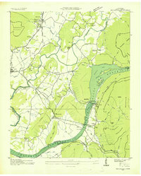
1936 · Sequatchie
USGS Topo · 1:24,000
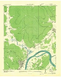
1936 · South Pittsburg
USGS Topo · 1:24,000