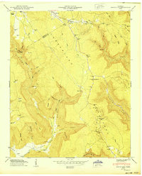
1950 Map of White City
USGS Topo · Published 1950About this map
The Cumberland Plateau dominates this mid-century survey, where the deep incisions of Gizzard Cove and Indian Cove create a landscape of sharp ridges and secluded pockets. Early settlement patterns are visible in the family-named landmarks and homesteads, including the Sides Place, Pyburn Place, and the remote Lankford Town in the north. This is a region defined by its topography, where travel was dictated by the gaps between features like Long Ridge and Pryor Ridge.
Find a feature on this map
84 named features on this map. Tap any name to fly to it.
Don’t see what you’re looking for? This feature index may not catch every label — zoom into the map to look around manually.
Map Details
Editions of this 1950 White City Map
This is the sole edition of this map. No revisions or reprints were ever made.
Other maps of this area

1895 · Sewanee
USGS Topo · 1:125,000

1936 · Palmer
USGS Topo · 1:24,000

1936 · Orme
USGS Topo · 1:24,000

1936 · Whitwell
USGS Topo · 1:24,000

1936 · Burrow Cove
USGS Topo · 1:24,000

1936 · Tracy City
USGS Topo · 1:24,000

1936 · Monteagle
USGS Topo · 1:24,000

1936 · White City
USGS Topo · 1:24,000
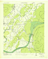
1936 · Sequatchie
USGS Topo · 1:24,000
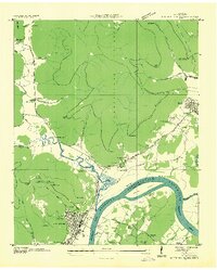
1936 · South Pittsburg
USGS Topo · 1:24,000