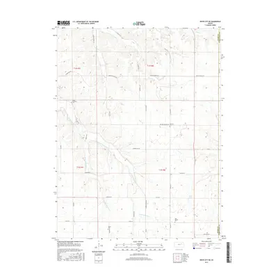
2015 Map of White City NE
USGS Topo · Published 2015About this map
Humboldt Cr and its numerous tributaries, including East Br Humboldt Cr and West Br Humboldt Cr, carve a intricate drainage pattern through this section of Geary and Wabaunsee Counties. The landscape is defined by the rural infrastructure of the Flint Hills, where long-established burial grounds like Upper Humboldt Cem and Moss Springs Cem serve as vital markers for genealogical research. Local landmarks such as Moss Spring and the elevated terrain near Glessner Hill Rd anchor the topography.
Find a feature on this map
39 named features on this map. Tap any name to fly to it.
Don’t see what you’re looking for? This feature index may not catch every label — zoom into the map to look around manually.
Map Details
Editions of this 2015 White City NE Map
This is the sole edition of this map. No revisions or reprints were ever made.
Other maps of this area

1885 · Eskridge
USGS Topo · 1:125,000

1886 · Junction City
USGS Topo · 1:125,000

1889 · Wamego
USGS Topo · 1:125,000

1889 · Junction City
USGS Topo · 1:125,000

1889 · Parkerville
USGS Topo · 1:125,000

1889 · Eskridge
USGS Topo · 1:125,000

1894 · Eskridge
USGS Topo · 1:125,000

1894 · Junction City
USGS Topo · 1:125,000

1894 · Parkerville
USGS Topo · 1:125,000

1894 · Wamego
USGS Topo · 1:125,000