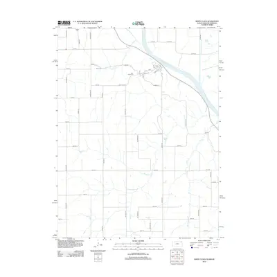
2012 Map of White Cloud
USGS Topo · Published 2012About this map
The Missouri River carves the northeastern border of this region, where the town of White Cloud sits at the edge of the water. This 2012 survey shows the grid-like expansion of rural roads extending from the river bluffs into the agricultural uplands, including White Cloud Rd and Thrasher Rd. Local history and genealogy are well-represented by several family-named burial grounds located near the watercourses, such as Tesson Cem and Olive Branch Cem situated near Squaw Cr. Further north, Partlow Cem overlooks the drainage basin. The landscape is defined by its numerous tributaries, including Mill Cr and Cedar Cr, which cut through the terrain as they move toward the main river channel. These waterways historically dictated the placement of roads and early farmsteads in Doniphan County.
Find a feature on this map
53 named features on this map. Tap any name to fly to it.
Don’t see what you’re looking for? This feature index may not catch every label — zoom into the map to look around manually.
Map Details
Editions of this 2012 White Cloud Map
This is the sole edition of this map. No revisions or reprints were ever made.
Other maps of this area

1885 · Atchison
USGS Topo · 1:125,000

1888 · Atchison
USGS Topo · 1:125,000

1893 · Atchison
USGS Topo · 1:125,000

1920 · Craig
USGS Topo · 1:62,500

1926 · Oregon
USGS Topo · 1:62,500

1926 · Maitland
USGS Topo · 1:62,500

1950 · Kansas City
USGS Topo · 1:250,000

1954 · Kansas City
USGS Topo · 1:250,000

1955 · Nebraska City
USGS Topo · 1:250,000

1956 · Kansas City
USGS Topo · 1:250,000